Szád-vár, Aggtelek National Park

Gallery (4)
Map

Map
Gallery
Facts and practical information
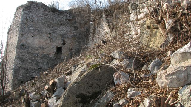
In the north-eastern corner of Hungary, in the Aggtelek National Park, on the border of the village of Szögliget, in the valley of the Bódva River, rises the 460-metre-high Várhegy, crowned by the ruins of the medieval fortress of the vast Szádvár.
Coordinates: 48°32'40"N, 20°39'48"E
Address
Aggtelek National Park
ContactAdd
Social media
Add
Day trips
Szád-vár – popular in the area (distance from the attraction)
Nearby attractions include: Bódvarákó.
