Slovak Karst National Park
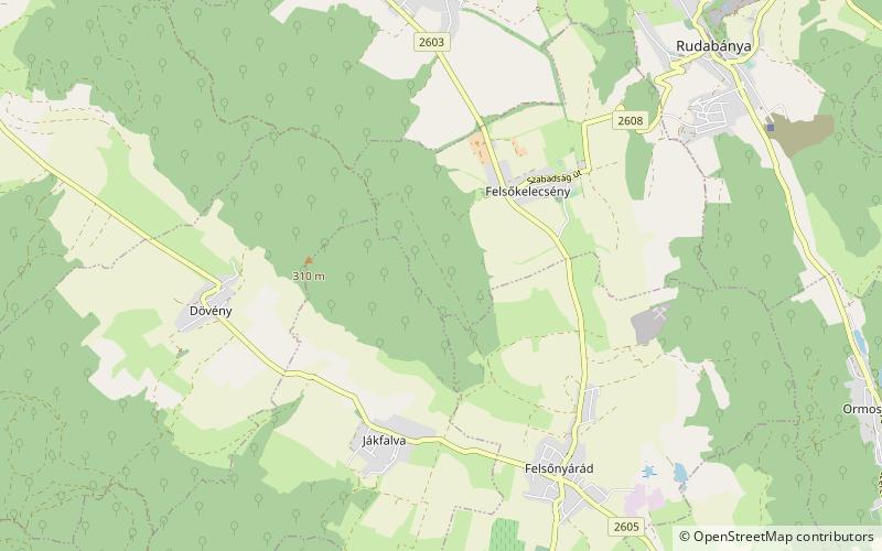
Map

Map

Facts and practical information
Slovak Karst National Park is a national park in the Slovak Karst mountain range in South East Slovakia. It lies in the Gelnica, Rožňava and Košice–okolie districts in the Košice region. The National Park covers an area of 346.11 km² and its buffer zone covers 117.41 km². ()
Alternative names: Established: 1 March 2002 (23 years ago)Area: 133.63 mi²Coordinates: 48°20'60"N, 20°34'48"E
Location
Borsod-Abaúj-Zemplén
ContactAdd
Social media
Add
Day trips
Slovak Karst National Park – popular in the area (distance from the attraction)
Nearby attractions include: Rudabánya.

