MTA Könyvtár és Információs Központ, Budapest
Map
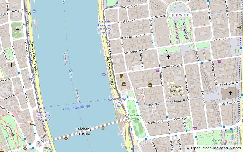
Map

Facts and practical information
The Library and Information Centre of the Hungarian Academy of Sciences is one of the largest scientific libraries in the country and an institute of the Hungarian Academy of Sciences.
Coordinates: 47°30'6"N, 19°2'47"E
Day trips
MTA Könyvtár és Információs Központ – popular in the area (distance from the attraction)
Nearby attractions include: St. Stephen's Basilica, Chain Bridge, Saint Anne Parish, Shoes on the Danube Bank.
Frequently Asked Questions (FAQ)
Which popular attractions are close to MTA Könyvtár és Információs Központ?
Nearby attractions include Széchenyi Academy of Literature and Arts, Budapest (1 min walk), Akadémia utca, Budapest (2 min walk), Park of Széchenyi István tér, Budapest (3 min walk), Inner City, Budapest (4 min walk).
How to get to MTA Könyvtár és Információs Központ by public transport?
The nearest stations to MTA Könyvtár és Információs Központ:
Tram
Bus
Metro
Trolleybus
Train
Light rail
Tram
- Széchenyi István tér • Lines: 2, 2M (2 min walk)
- Kossuth Lajos tér (6 min walk)
Bus
- Széchenyi István tér • Lines: 105, 178 (4 min walk)
- Széchenyi utca • Lines: 115, 15 (4 min walk)
Metro
- Kossuth Lajos tér • Lines: M2 (8 min walk)
- Vörösmarty tér • Lines: M1 (10 min walk)
Trolleybus
- Kossuth Lajos tér M • Lines: 70, 78 (9 min walk)
- Báthory utca / Bajcsy-Zsilinszky út • Lines: 70, 78 (14 min walk)
Train
- Clark Ádám tér (11 min walk)
- Szent György tér (12 min walk)
Light rail
- Batthyány tér • Lines: H5 (13 min walk)
- Margit híd, budai hídfő • Lines: H5 (26 min walk)

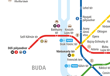 Metro
Metro


