Civitas Fortissima tér, Balassagyarmat
Map

Map

Facts and practical information
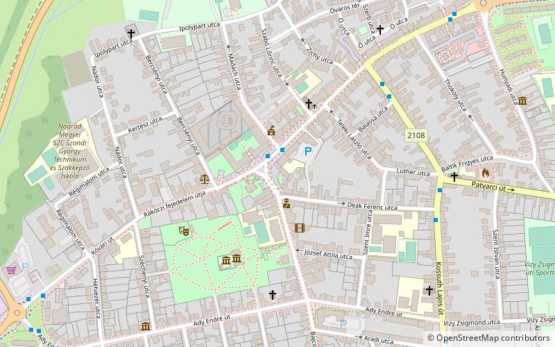
Civitas Fortissima Square is the most important square in the centre of Balassagyarmat. The square has become a popular place after its renovation in 2013. The square is bordered by Bercsényi Street, Palóc Grove, Bajcsy-Zsilinszky Street, Teleki Street, Szabó Lőrinc Street and Madách Imre Street, and the Rákóczi Prince's Road runs through it.
Coordinates: 48°4'36"N, 19°17'28"E
Address
Balassagyarmat
ContactAdd
Social media
Add
Day trips
Civitas Fortissima tér – popular in the area (distance from the attraction)
Nearby attractions include: Jánossy Gallery, Paloc park, City Culture House and Library, Civitas Fortissima Múzeum.
Frequently Asked Questions (FAQ)
Which popular attractions are close to Civitas Fortissima tér?
Nearby attractions include Jánossy Gallery, Balassagyarmat (2 min walk), Paloc park, Balassagyarmat (4 min walk), Civitas Fortissima Múzeum, Balassagyarmat (8 min walk), City Culture House and Library, Balassagyarmat (11 min walk).


