Somogyvámosi pusztatemplom

Gallery (5)
Map

Map

Gallery
Facts and practical information
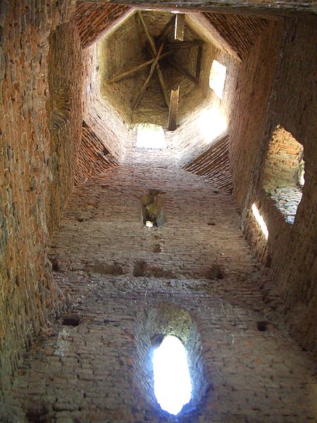
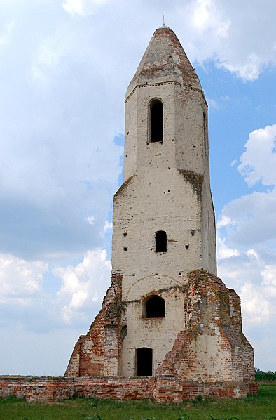
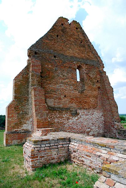
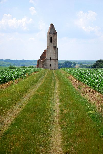
The church of Somogyvámos is a church ruin on the outskirts of the village of Somogyvámos. Before the Ottoman wars, a settlement called Csopak stood on this site, and only the church of this settlement has survived.
Coordinates: 46°33'23"N, 17°40'42"E
Location
Somogy
ContactAdd
Social media
Add