Transdanubian Mountains
Map

Map

Facts and practical information
The Transdanubian Mountains are a mountain range in Hungary covering about 7000 km2. Its highest peak is the Pilis, with a height of 757 m. ()
Location
Veszprém
ContactAdd
Social media
Add
Day trips
Transdanubian Mountains – popular in the area (distance from the attraction)
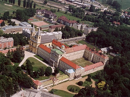
Nearby attractions include: Arboretum, Zirc Abbey, Bakony, Zirci Arborétum.


