Tabán, Budapest
Map
Gallery
Facts and practical information
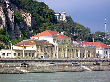
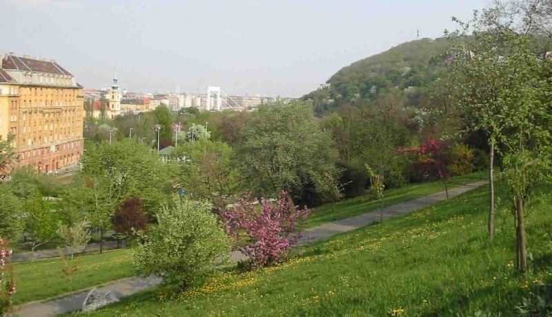
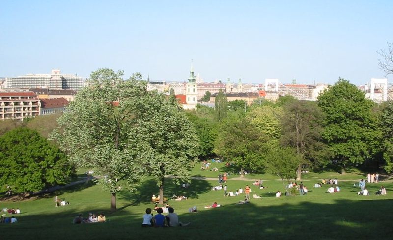
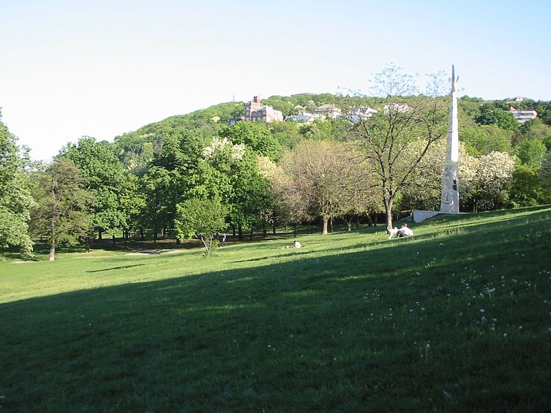
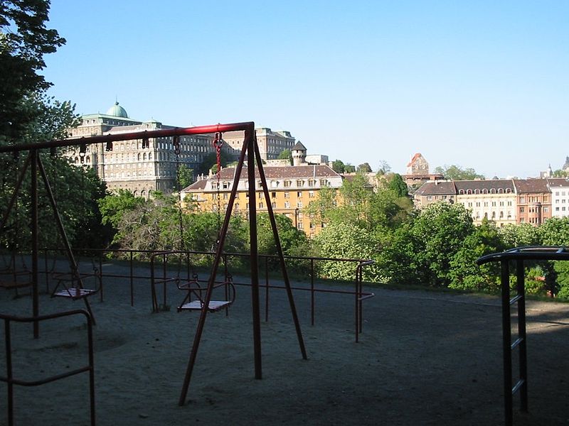
Tabán usually refers to an area within the 1st district of Budapest, the capital of Hungary. It lies on the Buda side of the Danube, to the south of György Dózsa Square, on the northern side of Elisabeth Bridge and to the east of Naphegy. Outside of Budapest, several other Hungarian cities and towns also have districts called Tabán. ()
Address
Várkerület (Tabán)Budapest
ContactAdd
Social media
Add
Day trips
Tabán – popular in the area (distance from the attraction)
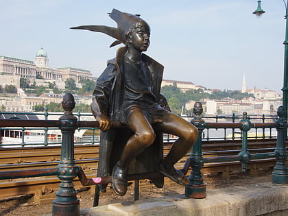
Nearby attractions include: Rudas Baths, Buda Castle, Liberty Statue, Citadella.
Frequently Asked Questions (FAQ)
Which popular attractions are close to Tabán?
Nearby attractions include Rác Thermal Bath, Budapest (1 min walk), Attila út, Budapest (3 min walk), Tabán ruins, Budapest (3 min walk), St. Catherine of Alexandria Church, Budapest (3 min walk).
How to get to Tabán by public transport?
The nearest stations to Tabán:
Tram
Bus
Train
Metro
Trolleybus
Light rail
Tram
- Döbrentei tér • Lines: 56, 56A (2 min walk)
- Várkert Bazár • Lines: 19, 41 (5 min walk)
Bus
- Szarvas tér • Lines: 178, 5, 956 (3 min walk)
- Döbrentei tér • Lines: 105, 108E, 110, 110E, 112, 178, 5, 8E, 907, 908, 916, 956, 973, 973A, 990 (4 min walk)
Train
- Szent György tér (13 min walk)
- Clark Ádám tér (13 min walk)
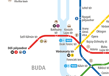
Metro
- Vörösmarty tér • Lines: M1 (14 min walk)
- Deák Ferenc tér • Lines: M1, M2 (19 min walk)
Trolleybus
- Fővám tér M • Lines: 83 (20 min walk)
- Astoria M • Lines: 72M (22 min walk)
Light rail
- Batthyány tér • Lines: H5 (29 min walk)
- Boráros tér • Lines: H7 (36 min walk)



 Metro
Metro