Karancs

Gallery (1)
Map
Map
Facts and practical information
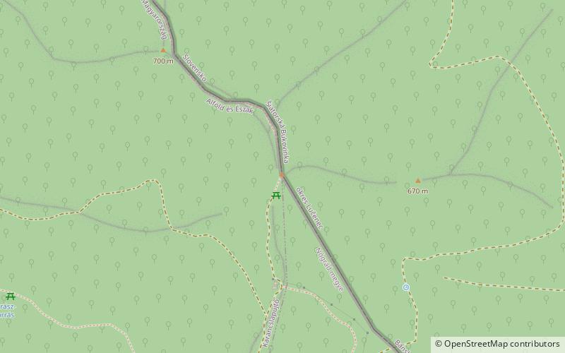
Karancs is the highest peak in the Karancs Hills with an elevation of 729 metres. It lies on the Hungarian-Slovak border. In Hungary, the mountain forms part of the Karancs-Medves Protected Landscape Area, while in Slovakia it is included in the Cerová vrchovina Protected Landscape Area. ()
Location
Nógrád
ContactAdd
Social media
Add
Day trips
Karancs – popular in the area (distance from the attraction)
Nearby attractions include: Salgó.
