Zselic National Landscape Protection Area

Gallery (1)
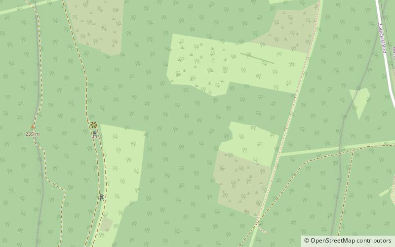
Map
Map
Facts and practical information
Zselic National Landscape Protection Area is a dark-sky preserve in Hungary. It is located in the counties of Somogy and Baranya, between Kaposvár and Pécs, and whose boundary is managed by the Danube-Drava National Park. This includes some of the hills of Transdanubia, in the heart of the massif of Zselic. ()
Local name: Zselici Tájvédelmi Körzet Established: 1976 (50 years ago)Area: 40.54 mi²Elevation: 669 ft a.s.l.Coordinates: 46°13'42"N, 17°45'28"E
Location
Baranya
ContactAdd
Social media
Add