Ádám Kálmán lovastanyája, Rajka

Gallery (1)
Map
Map
Facts and practical information
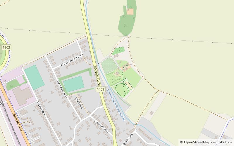
Ádám Kálmán lovastanyája (address: Ady Endre u.27) is a place located in Rajka (Gyor-Moson-Sopron county) and belongs to the category of sightseeing.
It is situated at an altitude of 417 feet, and its geographical coordinates are 48°0'14"N latitude and 17°11'44"E longitude.
Coordinates: 48°0'14"N, 17°11'44"E
Address
Ady Endre u.27Rajka
ContactAdd
Social media
Add