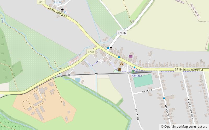
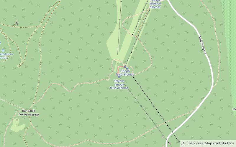
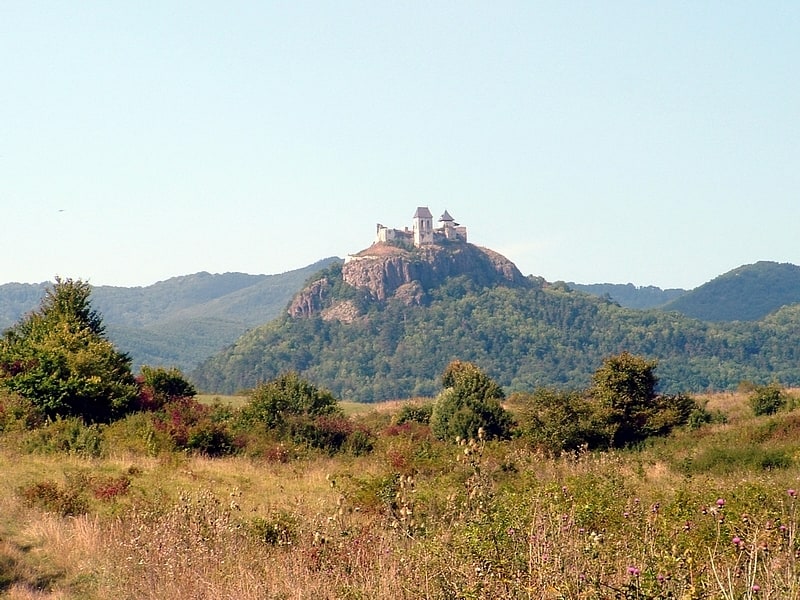
IntroductionNearbyPálháza#318 among destinations in HungaryTownMap Facts and practical informationPálháza is a town in Borsod-Abaúj-Zemplén county, Hungary, 87 km east from county capital Miskolc. ()MoreAlternative names: Population: 1.1 thous.Area: 2.61 mi²Coordinates: 48°28'16"N, 21°30'37"ELocationBorsod-Abaúj-ZemplénHungaryContact WebsiteSocial mediaAddLocal time: 00:00Weather: Pálháza Public TransportationPálházaBus stationsPálházaRailway stations Day tripsPálháza – popular in the area (distance from the attraction)Nearby attractions include: Magas-hegy, The Hungarian language Museum, Zemplén Mountains.7.3 miSE5.6 miSE6.5 miSW