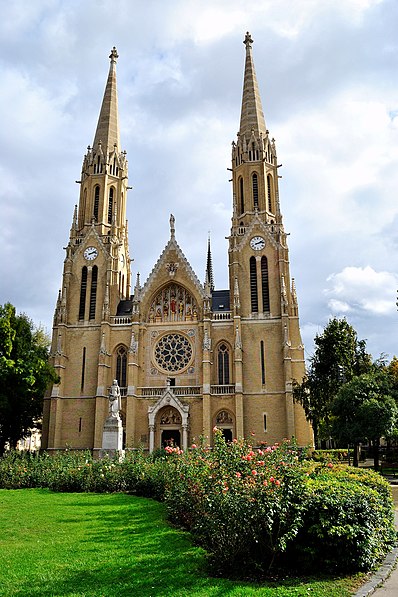
Árpádházi Szent Erzsébet-templom, Budapest
Facts and practical information
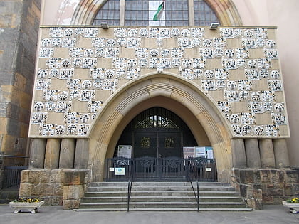
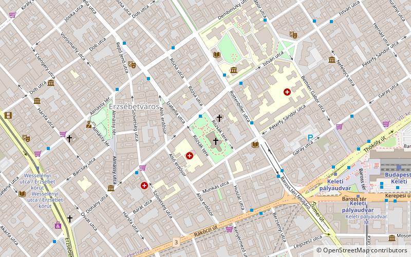
Árpádházi Szent Erzsébet-templom (address: Rózsák tere) is a place located in Budapest (Budapest capital city) and belongs to the category of church.
It is situated at an altitude of 358 feet, and its geographical coordinates are 47°30'5"N latitude and 19°4'33"E longitude.
Planning a visit to this place, one can easily and conveniently get there by public transportation. Árpádházi Szent Erzsébet-templom is a short distance from the following public transport stations: Huszár utca (bus, 5 min walk), Keleti pályaudvar (metro, 8 min walk), Wesselényi utca / Erzsébet körút (tram, 9 min walk), Keleti pályaudvar M (trolleybus, 9 min walk), Budapest Keleti Station (train, 10 min walk).
Among other places and attractions worth visiting in the area are: Rózsák tere (park, 1 min walk), Budapest/Pest (area, 3 min walk), University of Veterinary Medicine Budapest (universities and schools, 4 min walk).
Árpádházi Szent Erzsébet-templom – popular in the area (distance from the attraction)
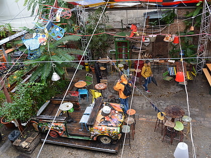
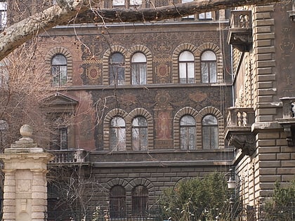
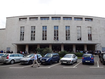
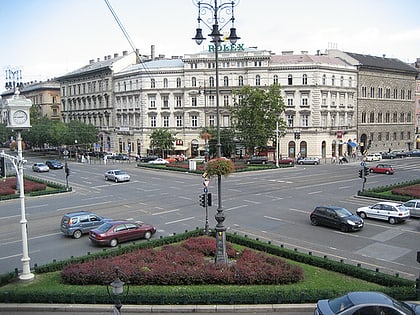
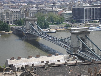
Nearby attractions include: Rákóczi Square Market Hall, House of Terror, Szimpla Kert, Reformed Church of Fasor.
Frequently Asked Questions (FAQ)
Which popular attractions are close to Árpádházi Szent Erzsébet-templom?
How to get to Árpádházi Szent Erzsébet-templom by public transport?
Bus
- Huszár utca • Lines: 110, 112, 5, 7, 907, 907A, 908, 931, 931A, 956, 973, 973A, 990 (5 min walk)
- Kiss József utca • Lines: 99 (8 min walk)
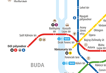
Metro
- Keleti pályaudvar • Lines: M2, M4 (8 min walk)
- II. János Pál pápa tér • Lines: M4 (11 min walk)
Tram
- Wesselényi utca / Erzsébet körút • Lines: 4, 6 (9 min walk)
- Keleti pályaudvar M • Lines: 24, 2M (9 min walk)
Trolleybus
- Keleti pályaudvar M • Lines: 73M, 76, 79M, 80 (9 min walk)
- Cserhát utca • Lines: 79M (13 min walk)
Train
- Budapest Keleti Station (10 min walk)
- Budapest-Nyugati (28 min walk)

 Metro
Metro

