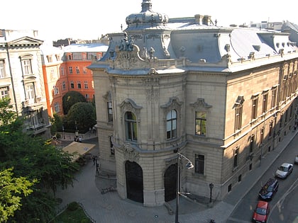
Budapest's Palace District, Budapest
Facts and practical information
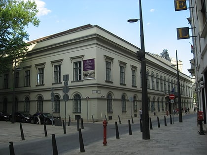
Budapest's Palotanegyed forms an inner part of Pest, the eastern half of Budapest. Known until the communist period as the ‘Magnates’ Quarter’, it consists of the western part of the city's Eighth District, or Józsefváros, which was named on 7 November 1777 after Joseph II, Holy Roman Emperor and Archduke of Austria, who reigned 1765-1790. Józsefváros developed immediately east of the medieval walls of Pest and was originally called Lerchenfeld or the Alsó-Külváros. The Palotanegyed's borders are the Múzeum körút to the west, Rákóczi út to the north, the József körút to the east and Üllői út to the south. There is an extensive photo archive of the Palace District at the Fortepan website. ()
JózsefvárosBudapest
Budapest's Palace District – popular in the area (distance from the attraction)
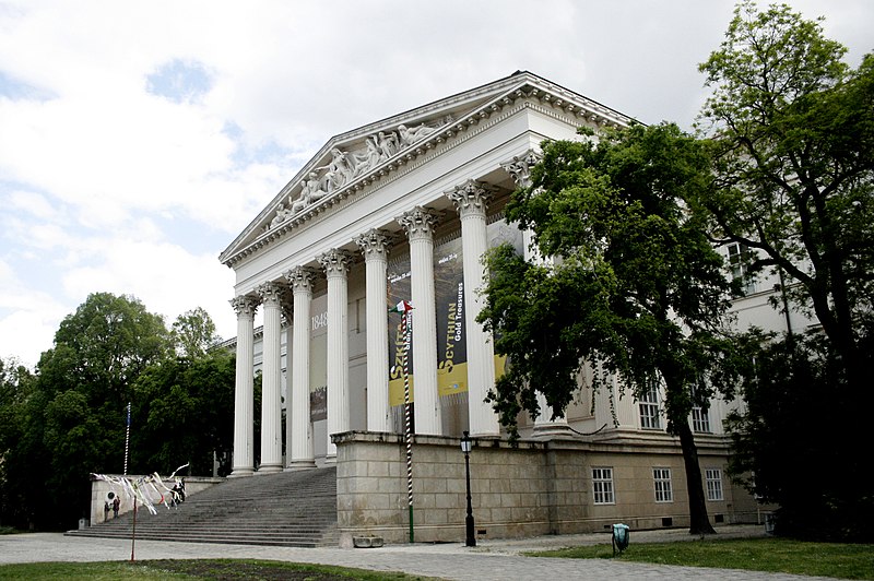
Nearby attractions include: Great Market Hall, Dohány Street Synagogue, Hungarian National Museum, Museum of Applied Arts.
Frequently Asked Questions (FAQ)
Which popular attractions are close to Budapest's Palace District?
How to get to Budapest's Palace District by public transport?
Bus
- Szentkirályi utca • Lines: 9, 909, 909A (6 min walk)
- Rákóczi tér M • Lines: 6, 923 (7 min walk)
Trolleybus
- Szentkirályi utca • Lines: 72M, 83 (6 min walk)
- Kálvin tér M • Lines: 72M, 83 (7 min walk)
Tram
- Rákóczi tér M • Lines: 4, 6 (7 min walk)
- Harminckettesek tere • Lines: 4, 6 (7 min walk)
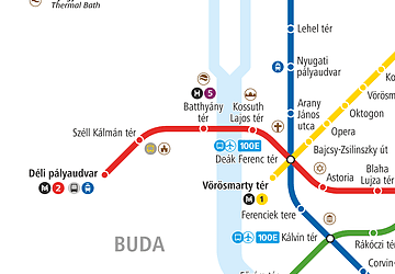
Metro
- Rákóczi tér • Lines: M4 (8 min walk)
- Astoria • Lines: M2 (8 min walk)
Light rail
- Boráros tér • Lines: H7 (24 min walk)
Train
- Budapest Keleti Station (26 min walk)



 Metro
Metro


