Erzsébetváros, Budapest
Facts and practical information
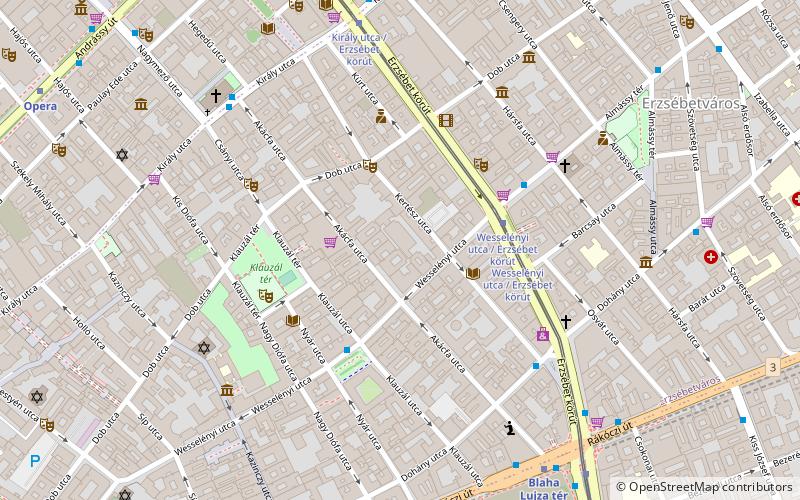
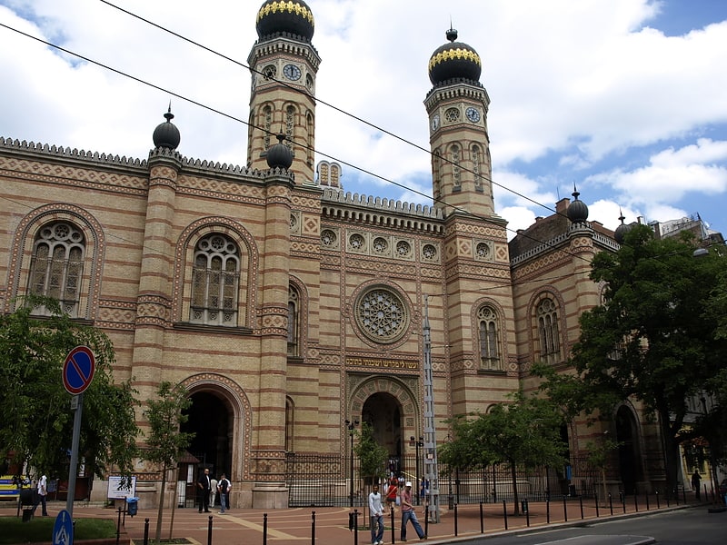
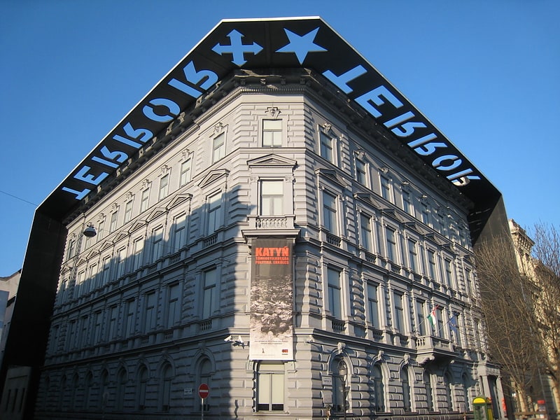
Erzsébetváros is the 7th district of Budapest, situated on the Pest side of the Danube. The inner half of the district was the historic Jewish quarter of Pest. The Dohány Street Synagogue, the largest functioning synagogue in Europe, is located in this district. Currently it is the most densely populated district of Budapest with 29,681.3 person per km2. In 1910 Erzsébetváros had 152,454 inhabitants. During the socialist era Erzsébetváros's population decreased rapidly, because young people and families moved to the newer "panelized" boom districts. Gentrification and recovery started in the middle of the 2000s. ()
Erzsébetváros (A zsidó negyed)Budapest
- Metro
- Bus
- Trolleybus
- Tram
- Train
 Metro
Metro
- Calculate routeWesselényi utca / Erzsébet körút 3 min walk
- Calculate routeKirály utca / Erzsébet körút 6 min walk
- Calculate routeBlaha Lujza tér M 11 min walk
- Calculate routeWesselényi utca / Erzsébet körút 4 min walk
- Calculate routeKirály utca / Erzsébet körút 6 min walk
- Calculate routeBlaha Lujza tér M 7 min walk
- Calculate routeUránia 8 min walk
- Calculate routeAkácfa utca 6 min walk
- Calculate routeOpera M 10 min walk
- Calculate routeAstoria M 13 min walk
- Calculate routeZichy Jenő utca 15 min walk
- Calculate routeBlaha Lujza tér 7 min walk
- Calculate routeOktogon 10 min walk
- Calculate routeOpera 11 min walk
- Calculate routeAstoria 12 min walk
- Calculate routeBudapest Keleti Station 21 min walk
- Calculate routeBudapest-Nyugati 22 min walk
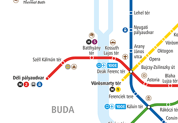 Metro
MetroErzsébetváros – popular in the area (distance from the attraction)
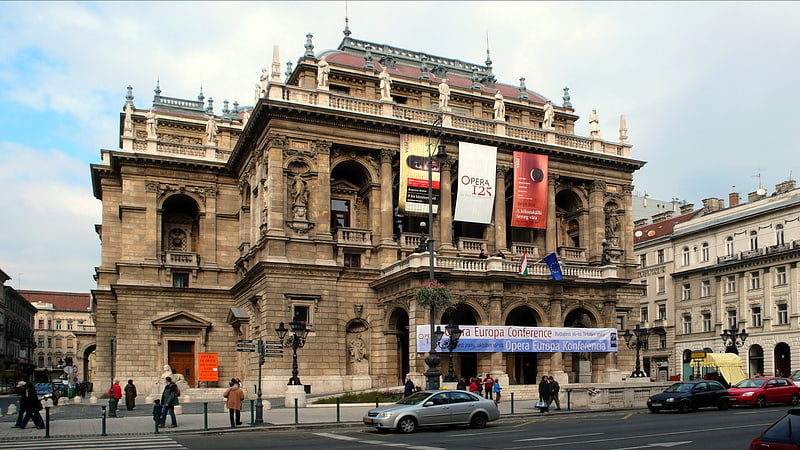
Nearby attractions include: Dohány Street Synagogue, Hungarian State Opera House, House of Terror, Szimpla Kert.


Frequently Asked Questions (FAQ)
Which popular attractions are close to Erzsébetváros?
How to get to Erzsébetváros by public transport?
Tram
- Wesselényi utca / Erzsébet körút • Lines: 4, 6 (3 min walk)
- Király utca / Erzsébet körút • Lines: 4, 6 (6 min walk)
Bus
- Wesselényi utca / Erzsébet körút • Lines: 6, 923 (4 min walk)
- Király utca / Erzsébet körút • Lines: 6, 923 (6 min walk)
Trolleybus
- Akácfa utca • Lines: 70, 78 (6 min walk)
- Opera M • Lines: 70, 78 (10 min walk)
Metro
- Blaha Lujza tér • Lines: M2 (7 min walk)
- Oktogon • Lines: M1 (10 min walk)
Train
- Budapest Keleti Station (21 min walk)
- Budapest-Nyugati (22 min walk)