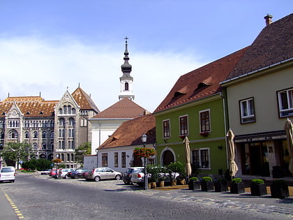
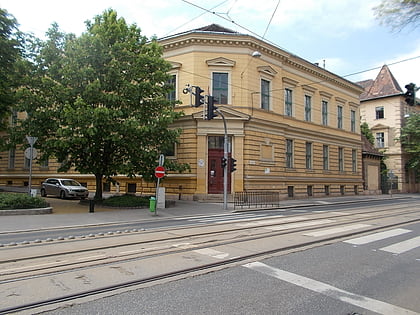
Várkerület, Budapest
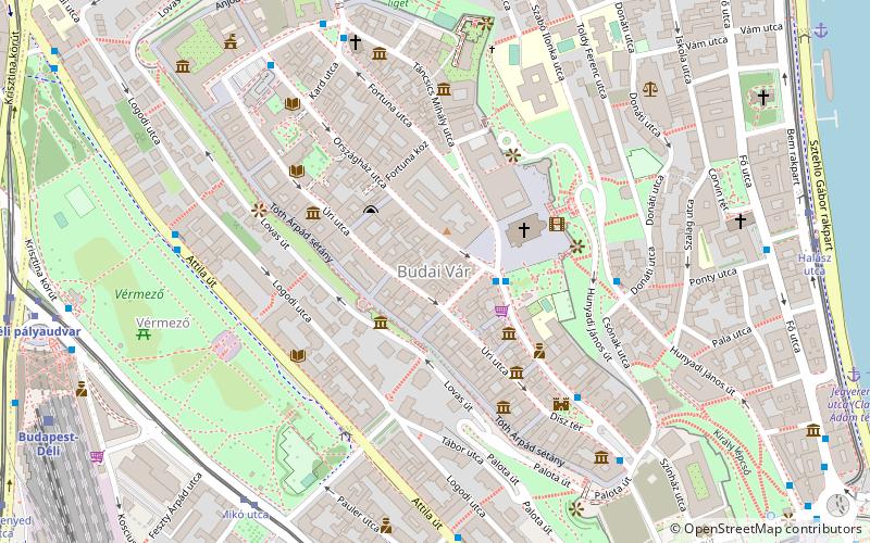
Map
Facts and practical information
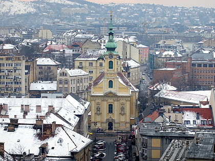
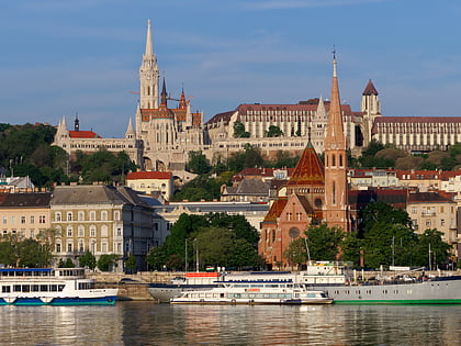
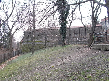
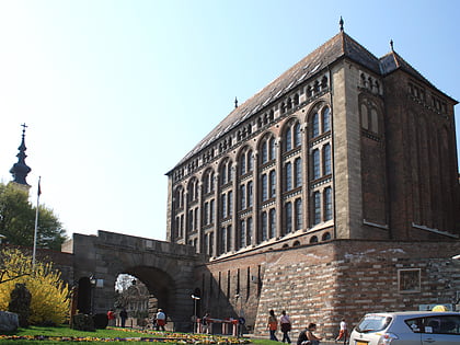
The 1st District of Budapest is the Castle District and is the historical part of the Buda side of Budapest. It consists of the Buda Castle Hill and some other neighborhoods around it, like Tabán, Krisztinaváros and parts of Gellért Hill. ()
Address
Várkerület (Várnegyed)Budapest
ContactAdd
Social media
Add
Day trips
Várkerület – popular in the area (distance from the attraction)
Nearby attractions include: Matthias Church, Fisherman's Bastion, Sándor Palace, Castle Quarter.
Frequently Asked Questions (FAQ)
Which popular attractions are close to Várkerület?
Nearby attractions include Magyarság Háza, Budapest (2 min walk), Matthias Church, Budapest (2 min walk), Hospital in the Rock, Budapest (2 min walk), Arany Sas Patikamúzeum, Budapest (3 min walk).
How to get to Várkerület by public transport?
The nearest stations to Várkerület:
Bus
Tram
Metro
Train
Light rail
Trolleybus
Bus
- Szentháromság tér • Lines: 116, 16, 16A, 916 (2 min walk)
- Donáti utca • Lines: 16, 916 (5 min walk)
Tram
- Mikó utca • Lines: 56, 56A (7 min walk)
- Krisztina tér • Lines: 56, 56A (9 min walk)
Metro
- Déli pályaudvar • Lines: M2 (10 min walk)
- Batthyány tér • Lines: M2 (12 min walk)
Train
- Budapest-Déli (10 min walk)
- Szent György tér (10 min walk)
Light rail
- Batthyány tér • Lines: H5 (13 min walk)
- Margit híd, budai hídfő • Lines: H5 (26 min walk)
Trolleybus
- Kossuth Lajos tér M • Lines: 70, 78 (22 min walk)
- Báthory utca / Bajcsy-Zsilinszky út • Lines: 70, 78 (29 min walk)
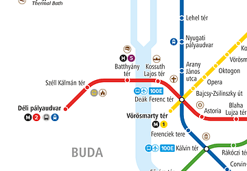 Metro
Metro


