Ásbyrgi, Jökulsárgljúfur National Park

Gallery (3)
Map
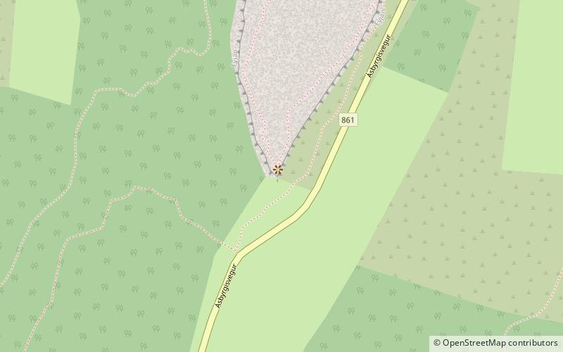
Map
Gallery
Facts and practical information
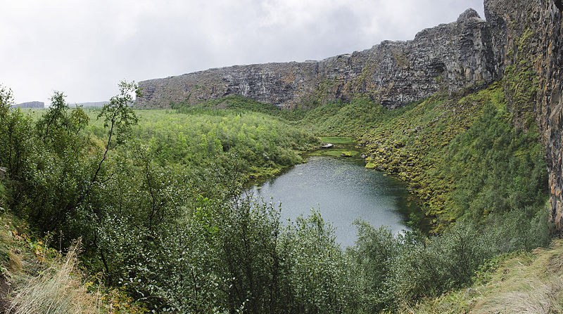
Ásbyrgi is a glacial canyon and forest in the north of Iceland, located approximately 38 kilometres east of Húsavík on the Diamond Circle road. The horseshoe-shaped depression is part of the Vatnajökull National Park and measures approximately 3.5 km in length and over 1 km wide. For more than half of its length, the canyon is divided through the middle by a distinctive rock formation 25 meters high called Eyjan, from which a vast landscape is seen. ()
Address
Jökulsárgljúfur National Park
ContactAdd
Social media
Add