Tjörnin, Reykjavík
Facts and practical information
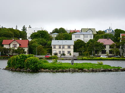
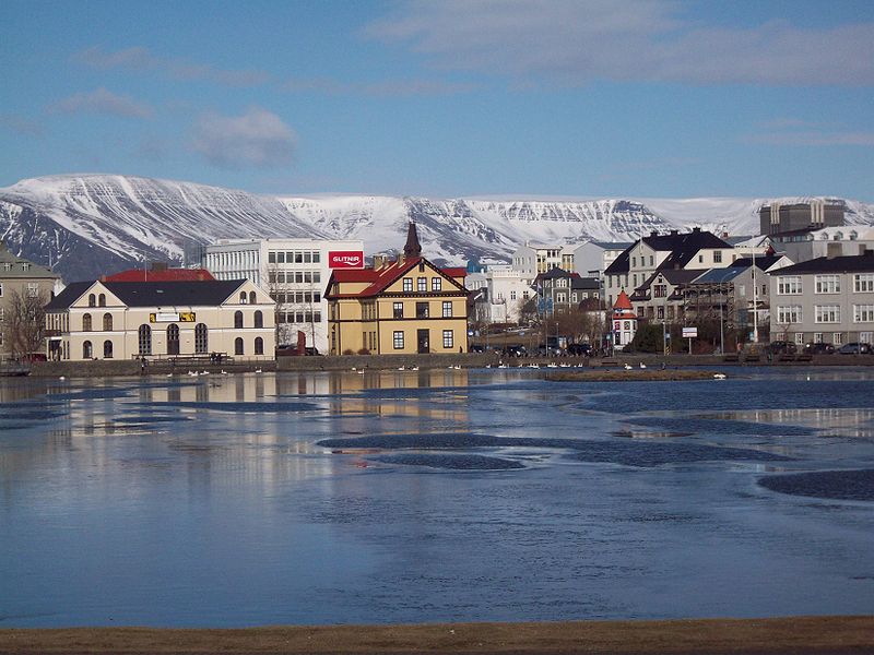
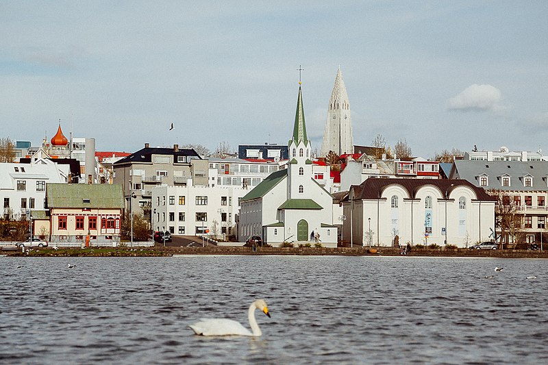
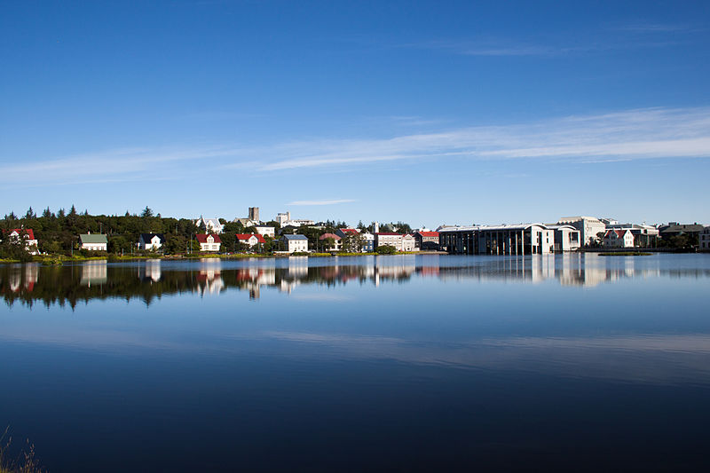
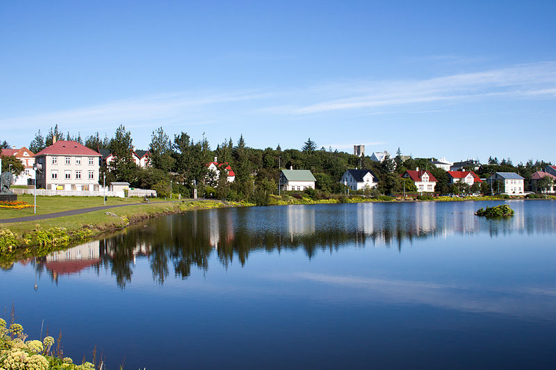
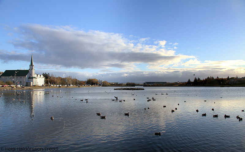
Nestled in the heart of Reykjavík, Tjörnin is a serene lake that offers a tranquil escape from the bustling city life. Known affectionately to locals as "The Pond," this iconic body of water is a centerpiece in the Icelandic capital's landscape and a beloved spot for both residents and tourists alike.
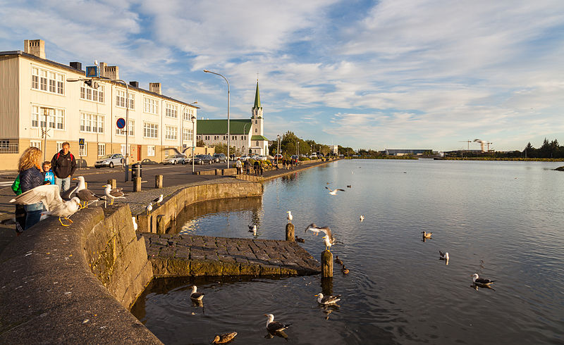
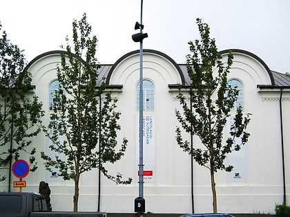
Surrounded by picturesque cityscapes and vibrant greenery, Tjörnin serves as a natural haven for various bird species, making it a prime location for birdwatching. Visitors often flock to the lake's shores to feed the ducks, swans, and geese that call Tjörnin home. The lake's proximity to the city's major cultural institutions, including the Reykjavík City Hall and the National Gallery of Iceland, adds to its allure as a cultural and leisure destination.
The lake's origins date back to the formation of Reykjavík, where it has played a significant role in the city's development. Over the years, Tjörnin has remained a focal point for community gatherings, outdoor activities, and recreational pursuits. During the warmer months, the lake's paths are popular for jogging, strolling, and picnicking. In contrast, the winter season often sees Tjörnin transformed into a giant ice rink, with locals and visitors alike lacing up their skates to glide across the frozen surface.
Despite its central location, Tjörnin is more than just a scenic backdrop; it is an integral part of Reykjavík's urban ecosystem. The lake's waters are fed by natural springs, and it plays a crucial role in local biodiversity. Efforts to preserve the lake's natural beauty and wildlife are evident, with careful attention paid to maintaining its clean and inviting environment.
Miõborg (Tjörnin)Reykjavík
Tjörnin – popular in the area (distance from the attraction)
Nearby attractions include: Laugavegur, Bankastræti, National Gallery of Iceland, Kolaportið.
Frequently Asked Questions (FAQ)
Which popular attractions are close to Tjörnin?
How to get to Tjörnin by public transport?
Bus
- Fríkirkjuvegur • Lines: 1, 11, 12, 3, 55, 6 (3 min walk)
- Ráðhúsið • Lines: 1, 11, 12, 13, 3, 55, 6 (4 min walk)
