Engey, Reykjavík
Map
Map

Facts and practical information
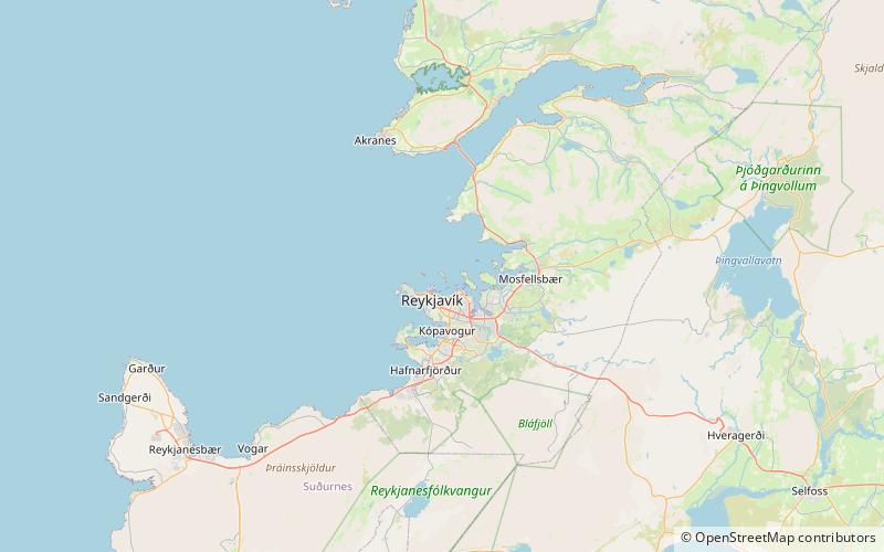
Engey is the second largest island of the Kollafjörður fjord in western Iceland. Located north of the capital Reykjavík, the uninhabited island is 1.7 kilometres in length and around 400 metres in width. To the northern end of the island, a lighthouse, first built in 1902, is located. The lighthouse was damaged and later restored in 1937. ()
Address
Reykjavík
ContactAdd
Social media
Add
Day trips
Engey – popular in the area (distance from the attraction)
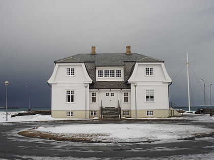
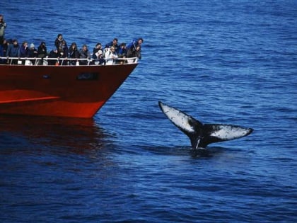
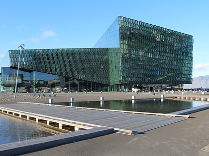
Nearby attractions include: Höfði, Sun Voyager, Elding Whale Watching Reykjavik, Kolaportið.
Frequently Asked Questions (FAQ)
How to get to Engey by public transport?
The nearest stations to Engey:
Bus
Bus
- Grandi • Lines: 14 (33 min walk)
- Fiskislóð • Lines: 14 (35 min walk)

