Langisjór, Vatnajökull National Park

Gallery (1)
Map
Map
Facts and practical information
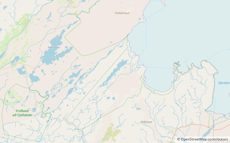
Langisjór is a lake in the western part of Vatnajökull National Park, Iceland. It is around 20 km in length and up to 2 km wide, with a total surface area of about 26 km2 and a depth of 75m at its deepest point. ()
Alternative names: Area: 10.04 mi²Length: 12.43 miWidth: 6562 ftMaximum depth: 246 ftElevation: 2165 ft a.s.l.Coordinates: 64°10'49"N, 18°17'11"W
Address
Vatnajökull National Park
ContactAdd
Social media
Add