Hvalvatn
Map

Map

Facts and practical information
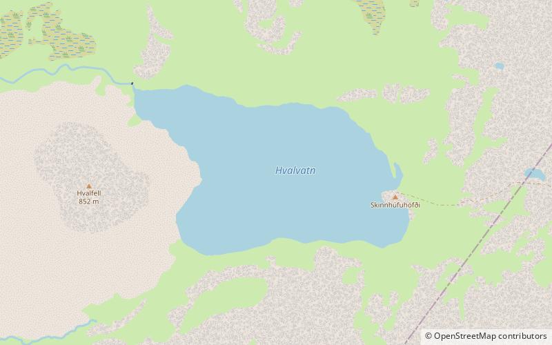
The lake Hvalvatn is situated east of Hvalfjörður in the western portion of Iceland. It lies to the east of the tuya Hvalfell. The surface measures 4.1 km2, and its greatest depth is 180 m. ()
Alternative names: Area: 1.58 mi²Maximum depth: 591 ftElevation: 1240 ft a.s.l.Coordinates: 64°23'11"N, 21°9'46"W
Location
Vesturland
ContactAdd
Social media
Add
