Öskjuvatn, Vatnajökull National Park

Gallery (1)
Map
Map
Facts and practical information
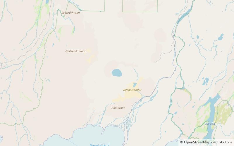
Öskjuvatn is a lake in the Highlands of Iceland. Its surface area is about 11 km². With a depth of 217 m, it is the second deepest lake in Iceland after Jökulsárlón. ()
Alternative names: Area: 4.25 mi²Maximum depth: 712 ftElevation: 3455 ft a.s.l.Coordinates: 65°1'50"N, 16°44'38"W
Address
Vatnajökull National Park
ContactAdd
Social media
Add
Day trips
Öskjuvatn – popular in the area (distance from the attraction)
Nearby attractions include: Askja.
