Elliðavatn, Reykjavík
Map

Map

Facts and practical information
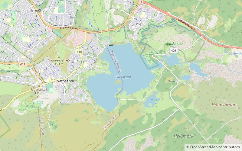
Elliðavatn is a lake in Iceland. It is situated in the area of Reykjavík. ()
Alternative names: Area: 0.69 mi²Maximum depth: 23 ftElevation: 246 ft a.s.l.Coordinates: 64°5'11"N, 21°47'8"W
Address
Reykjavík
ContactAdd
Social media
Add
Day trips
Elliðavatn – popular in the area (distance from the attraction)
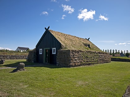
Nearby attractions include: Smáralind, Grímsbær, Árbæjarsafn, The Living Art Museum.
Frequently Asked Questions (FAQ)
How to get to Elliðavatn by public transport?
The nearest stations to Elliðavatn:
Bus
Bus
- Breiðahvarf • Lines: 2 (19 min walk)
- Álfkonuhvarf • Lines: 2 (20 min walk)


