Flókadalur

Map
Facts and practical information
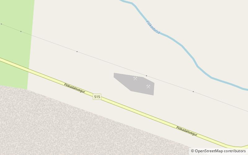
Flókadalur is a valley and region in Borgarfjarðarsýsla. The valley lies between Reykholtdalur and Lundarreykjadalur, and through it flow the rivers Flókadalsá and Geirsá. ()
Coordinates: 64°35'60"N, 21°28'0"W
Location
Vesturland
ContactAdd
Social media
Add
Day trips
Flókadalur – popular in the area (distance from the attraction)
Nearby attractions include: Snorrastofa, Deildartunguhver.

