Jólnir

Map
Facts and practical information
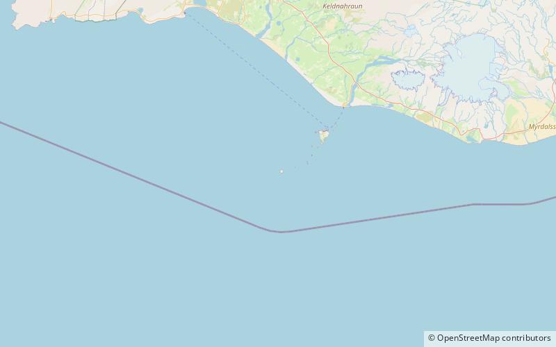
Jólnir was formerly a volcanic island south of Iceland. It was a former vent of Surtsey, along with Syrtlingur and Surtla. It emerged from the ocean as a result of active plate tectonics between December, 1965 and July, 1966. Oceanic erosion cyclically wore down the new lava as it formed, and the island sank below the surface several times. ()
Alternative names: Last eruption: 1966Area: 74.13 acres (0.1158 mi²)Elevation: 210 ftCoordinates: 63°17'41"N, 20°37'58"W
Location
Suðurland
ContactAdd
Social media
Add
Day trips
Jólnir – popular in the area (distance from the attraction)
Nearby attractions include: Surtsey.
