Tungnafellsjökull, Vatnajökull National Park

Gallery (1)
Map
Map
Facts and practical information
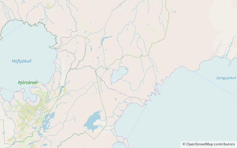
Tungnafellsjökull is a glacier and volcano in Iceland. It has an elevation of 1,535 metres and is located northwest of Vatnajökull glacier. ()
Address
Vatnajökull National Park
ContactAdd
Social media
Add