Mýrdalsjökull

Gallery (4)
Map

Map
Gallery
Facts and practical information
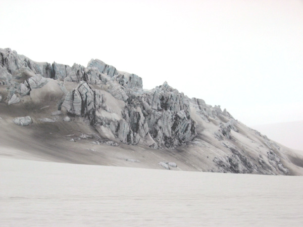
Mýrdalsjökull is an ice cap in the south of Iceland. It is to the north of Vík í Mýrdal and to the east of the smaller ice cap Eyjafjallajökull. Between these two glaciers is Fimmvörðuháls pass. Its peak reaches 1,493 m in height and in the year 1980 it covered an area of approximately 595 km2. ()
Location
Suðurland
ContactAdd
Social media
Add
Day trips
Mýrdalsjökull – popular in the area (distance from the attraction)
Nearby attractions include: Katla Volcano.
