Gluggafoss, Hvolsvöllur

Gallery (1)
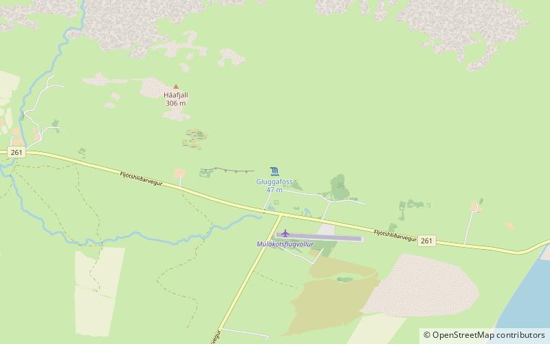
Map
Map
Facts and practical information
Gluggafoss is a waterfall in southern Iceland, specifically in the Fljótshlíð area. As the most prominent member of a series of waterfalls running from the river Merkjá, it is also known as Merkjárfoss; both names are acknowledged on an on-site signpost. The waterfall is accessible off Route 261, some 17.3 km from the closest major town, Hvolsvöllur. ()