Leirvogsvatn

Map
Facts and practical information
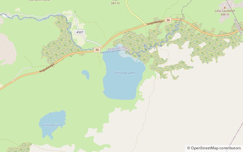
Leirvogsvatn is a small lake, located about 23 kilometres northeast of Reykjavík, Iceland. It lies along Route 36. Located at 211 metres above sea level, it has an area of 1.2 square kilometres with a maximum depth of 16 metres. Fed by the Leirvogsvatn River, the lake is the subject of a legend in the form of a horse-shaped monster. The lake is known to contain populations of Gasterosteus islandicus. ()
Maximum depth: 52 ftElevation: 692 ft a.s.l.Coordinates: 64°11'45"N, 21°27'17"W
Location
Höfuðborgarsvæði
ContactAdd
Social media
Add
Day trips
Leirvogsvatn – popular in the area (distance from the attraction)
Nearby attractions include: Gljúfrasteinn, Esjan, Hengill.


