Hraundrangi
Map

Map

Facts and practical information
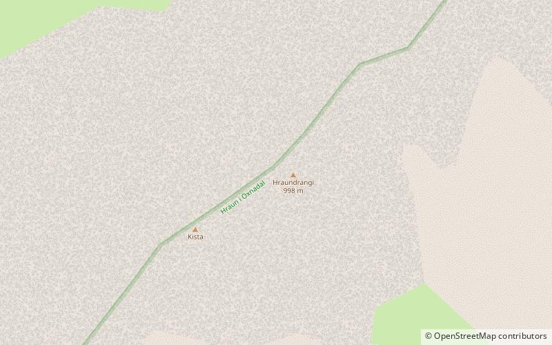
Hraundrangi is a conical peak in the Drangafjall ridge dividing Öxnadalur from Hörgárdalur in north Iceland. It rises to 1,075 metres above sea level, 80 metres above the ridge. It was probably originally named simply "Drangi" and acquired the prefix from the farm of Hraun, which lies below it on the Öxnadalur side. The ridge is often erroneously referred to as Hraundrangar, the plural of Hraundrangi. ()
Location
Hálshreppur
ContactAdd
Social media
Add
Day trips
Hraundrangi – popular in the area (distance from the attraction)
Nearby attractions include: Hörgárdalur.

