Goldis Tower, Tehran
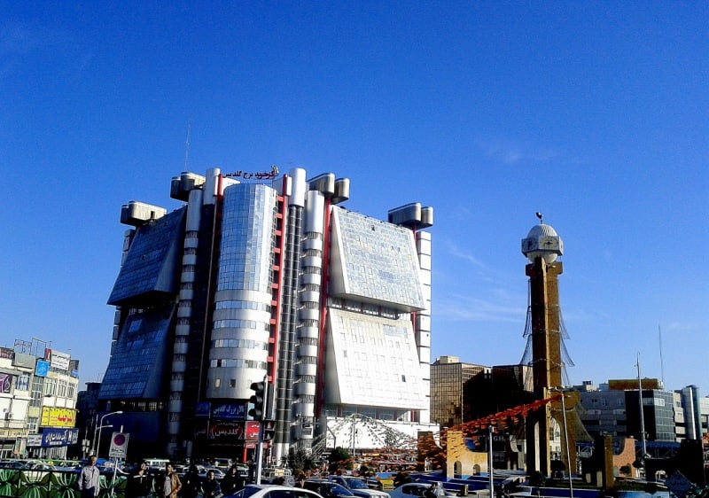
Gallery (1)
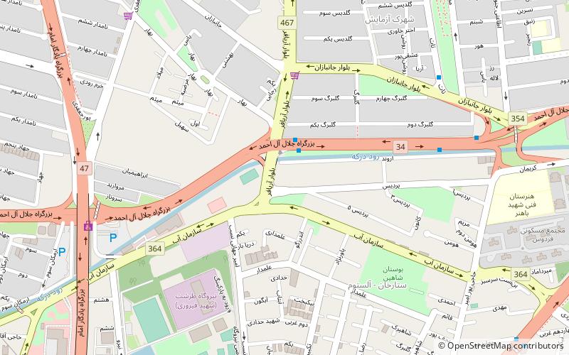
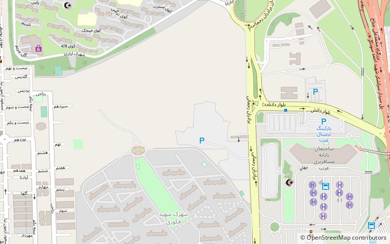
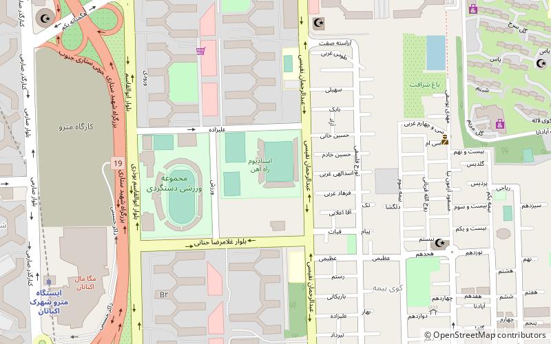
Map
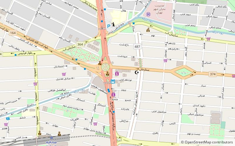
Map
Facts and practical information
Local name: مجتمع تجاری گلدیسCoordinates: 35°43'18"N, 51°20'10"E
Getting there by public transportation
Public transportation stops near this location
- Metro
- Bus
 Metro
Metro
- Calculate routeSadeqiye, Haftome Tir Bus Station 2 min walk
- Calculate routeSadeqiye 5 min walk
- Calculate routeایستگاه صادقیه 5 min walk
- Calculate routeTehran 10 min walk
- Calculate routeTarasht 15 min walk
- Calculate routeAshrafi Esfahani 26 min walk
- Calculate routeYadegar-e Emam 27 min walk
Day trips


Frequently Asked Questions (FAQ)
How to get to Goldis Tower by public transport?
The nearest stations to Goldis Tower:
Bus
Metro
Bus
- Sadeqiye, Haftome Tir Bus Station (2 min walk)
- Sadeqiye • Lines: 110, 285, 286, 322 (5 min walk)
Metro
- Tehran • Lines: 2 (10 min walk)
- Tarasht • Lines: 2 (15 min walk)