Ghadir Bridge, Isfahan
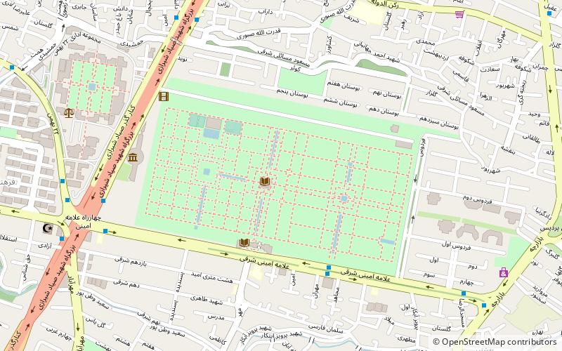
Map
Facts and practical information
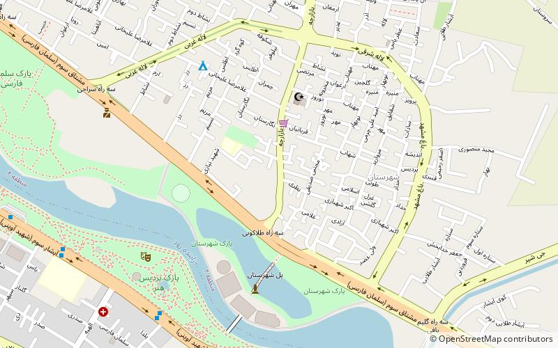
Ghadir Bridge is a bridge over the Zayanderud in Districts 4 and 6 of Isfahan. The bridge was completed in 2000. ()
Elevation: 5171 ft a.s.l.Coordinates: 32°38'34"N, 51°42'51"E
Address
Sayyad Shirazi Hwy.Isfahan
ContactAdd
Social media
Add
Day trips
Ghadir Bridge – popular in the area (distance from the attraction)
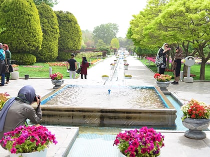
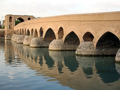
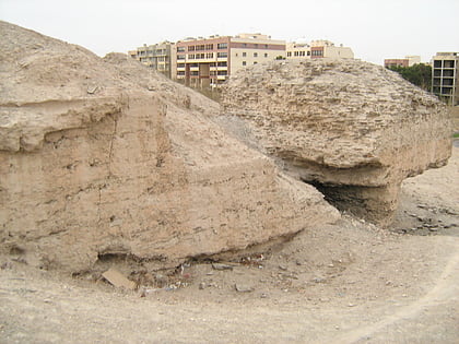
Nearby attractions include: Flower Garden of Isfahan, Shahrestan Bridge, Al-Rashid Mausoleum, Sarouyeh.
Frequently Asked Questions (FAQ)
How to get to Ghadir Bridge by public transport?
The nearest stations to Ghadir Bridge:
Bus
Bus
- کوثر • Lines: ۸۰ (9 min walk)
- مجموعه اداری • Lines: ۸۰ (10 min walk)
