Arad District, Shiraz
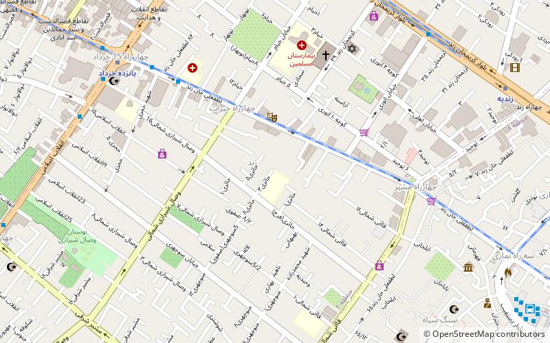
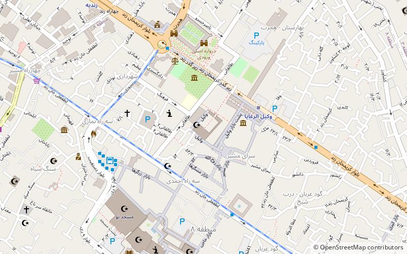
Map
Facts and practical information
Arad District is a district in Gerash County, Fars Province, Iran. At the 2016 census, its population was 7,029, in 2,019 families. The District has one city: Arad. The District has two rural district includes Arad Rural District and Sabzpoosh Rural District. ()
Local name: بخش اردCoordinates: 29°37'0"N, 52°31'60"E
Address
Shiraz
ContactAdd
Social media
Add
Day trips
Arad District – popular in the area (distance from the attraction)
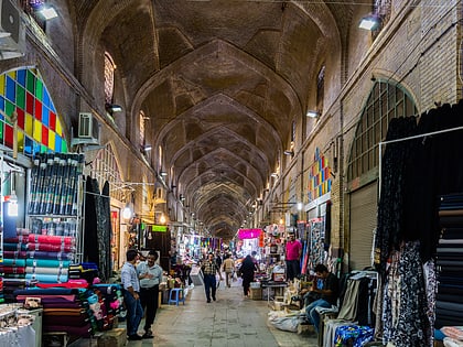
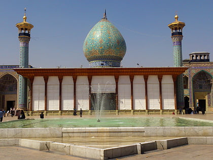
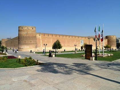
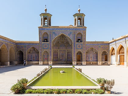
Nearby attractions include: Vakil Bazaar, Shah Cheragh, Arg of Karim Khan, Nasir al-Mulk Mosque.
Frequently Asked Questions (FAQ)
Which popular attractions are close to Arad District?
Nearby attractions include Shapouri House, Shiraz (6 min walk), Paramount Crossroads, Shiraz (10 min walk), Arg of Karim Khan, Shiraz (18 min walk), Pars Museum, Shiraz (18 min walk).
How to get to Arad District by public transport?
The nearest stations to Arad District:
Metro
Bus
Metro
- Zandiyeh • Lines: 1 (12 min walk)
- Emam Hossein • Lines: 1 (14 min walk)
Bus
- چهارراه زند • Lines: 70 (13 min walk)
- Ahmadi (14 min walk)
