Toopkhaneh, Tehran
Map
Map

Facts and practical information
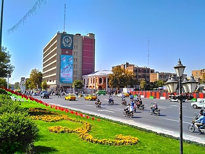
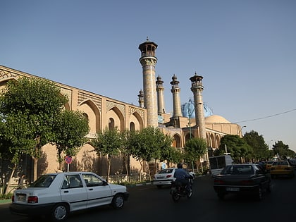
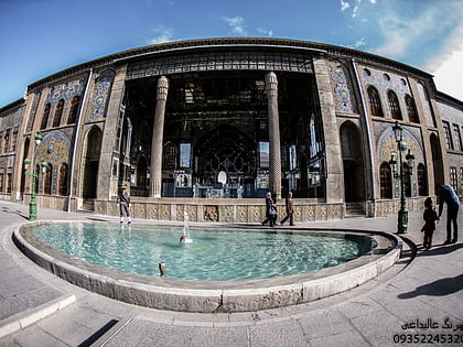
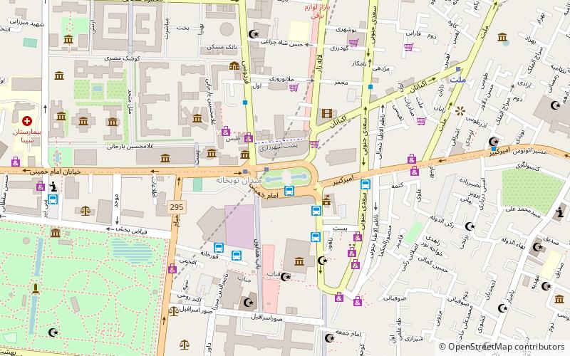
ToopKhāneh, also spelt as Tūpkhāneh, is a major town square and a neighborhood in the south of the central district of the city of Tehran, Iran. It was built in 1867 by an order of Amir Kabir and Commissioned in 1867. After the Iranian Revolution, it was renamed Imam Khomeini Square. Cheragh Bargh street ends-up to this square, and Naserie street, Bob Homayoun street, Sepah street, Ferdowsi street and Lalezar street find ways to other directions. ()
Address
منطقه 12 (mntqh 12)Tehran
ContactAdd
Social media
Add
Day trips
Toopkhaneh – popular in the area (distance from the attraction)
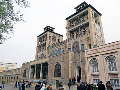
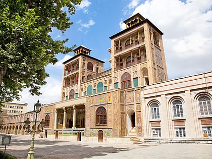
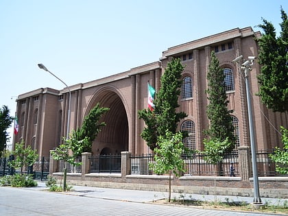
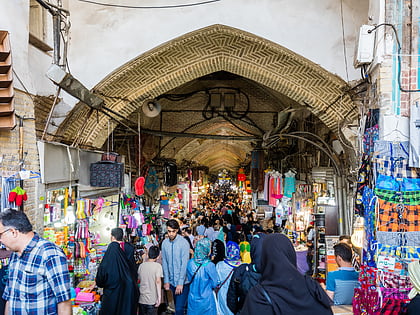
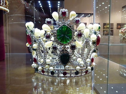
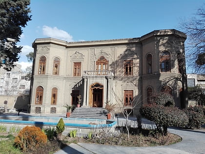
Nearby attractions include: Shams-ol-Emareh, Golestan Palace, National Museum of Iran, Grand Bazaar.
Frequently Asked Questions (FAQ)
Which popular attractions are close to Toopkhaneh?
Nearby attractions include Towhid Prison, Tehran (5 min walk), National Garden, Tehran (6 min walk), Hasanabad, Tehran (6 min walk), Laleh-Zar Street, Tehran (7 min walk).
How to get to Toopkhaneh by public transport?
The nearest stations to Toopkhaneh:
Bus
Metro
Bus
- Emam Khomeini (1 min walk)
- سعدی جنوبی (2 min walk)
Metro
- Emam Khomeini • Lines: 1, 2 (2 min walk)
- Mellat • Lines: 2 (9 min walk)
