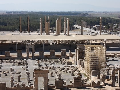
Persepolis Museum, Persepolis
Map
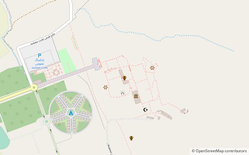
Map

Facts and practical information
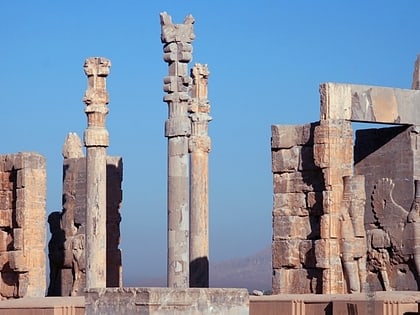
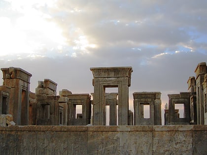
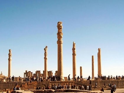
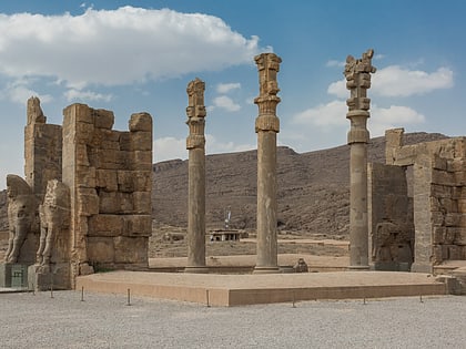
Persepolis was the ceremonial capital of the Achaemenid Empire. It is situated in the plains of Marvdasht, encircled by southern Zagros mountains of Iran. Modern day Shiraz is situated 60 kilometres southwest of the ruins of Persepolis. The earliest remains of Persepolis date back to 515 BC. It exemplifies the Achaemenid style of architecture. UNESCO declared the ruins of Persepolis a World Heritage Site in 1979. ()
Local name: تخت جمشید Built: VI century B.C.Unesco: from 1979Area: 30.89 acres (0.0483 mi²)Architectural style: Achaemenid architectureCoordinates: 29°56'7"N, 52°53'25"E
Address
Takht-e Jamishid Blvd.Persepolis
ContactAdd
Social media
Add
Day trips
Persepolis Museum – popular in the area (distance from the attraction)
Nearby attractions include: Tachara, Apadana, Gate of All Nations, Hall of 100 Columns.
Frequently Asked Questions (FAQ)
Which popular attractions are close to Persepolis Museum?
Nearby attractions include Hall of 100 Columns, Persepolis (1 min walk), Apadana, Persepolis (2 min walk), Tachara, Persepolis (3 min walk), Gate of All Nations, Persepolis (3 min walk).
