Rahmatabad Mound

Gallery (1)
Map
Map
Facts and practical information
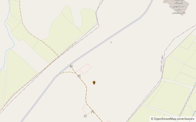
The Rahmatabad Mound or the Rahmatabad Tepe is one of the most historically significant settlements on the Marvdasht plain, Persia measuring 115 m in length and 75 m in width and 4.5 m in height. The mound sits at the edge of the fertile Kamin plain at the southerly end of the Bolaghi gorge. ()
Local name: تپه رحمتآبادCoordinates: 30°12'12"N, 53°10'44"E
Location
Fars
ContactAdd
Social media
Add
Day trips