Hajji Firuz Tepe
Map

Map

Facts and practical information
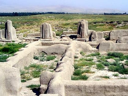
Hajji Firuz Tepe is an archaeological site located in West Azarbaijan Province in north-western Iran and lies in the north-western part of the Zagros Mountains. The site was excavated between 1958 and 1968 by archaeologists from the University of Pennsylvania Museum of Archaeology and Anthropology. The excavations revealed a Neolithic village that was occupied in the second half of the sixth millennium BC where some of the oldest archaeological evidence of grape-based wine was discovered in the form of organic residue in a pottery jar. ()
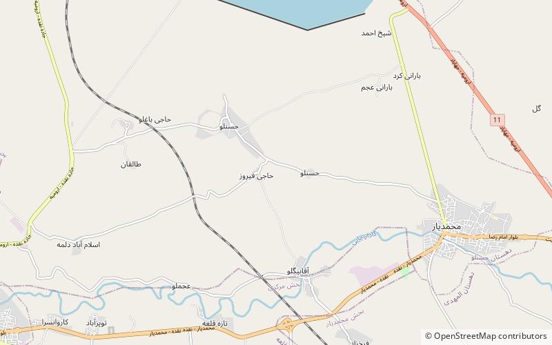
Local name: تپه حاجی فیروز Length: 656 ftWidth: 459 ftHeight: 34 ftCoordinates: 36°59'41"N, 45°28'27"E
Location
West Azarbaijan
ContactAdd
Social media
Add
Day trips
Hajji Firuz Tepe – popular in the area (distance from the attraction)
Nearby attractions include: Teppe Hasanlu.

