Tehranpars, Tehran
Map
Facts and practical information
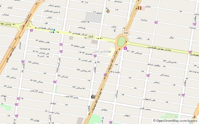
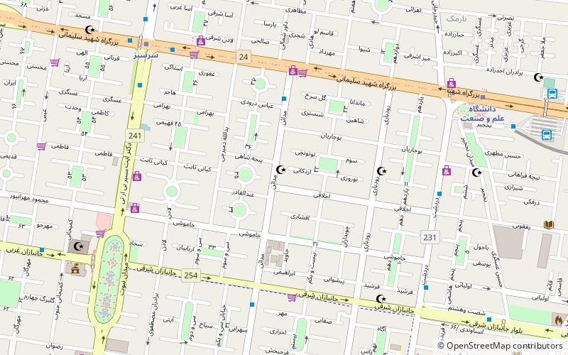
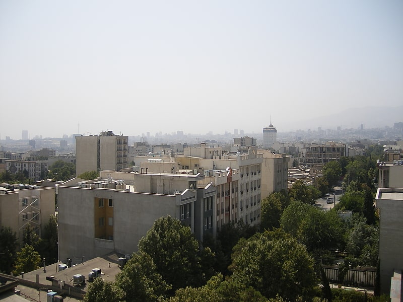
Tehranpars or Tehran Pars is an absorbed city inside the Greater Tehran Area and is located in the north east area of the city. It is considered a neighbourhood of Tehran City and lies in Tehran's eastern flank inside the area of the 4th and 8th municipalities of Tehran. In 1977, squatted areas in Tehranpars were evicted on the order of the state. ()
Address
منطقه 4 (mntqh 4)Tehran
ContactAdd
Social media
Add
Getting there by public transportation
Public transportation stops near this location
- Metro
- Bus
 Metro
Metro
- Calculate routeچهارراه اشراق 13 min walk
- Calculate routeشاهد 14 min walk
- Calculate routeمیدان شاهد 15 min walk
- Calculate routeزرین 15 min walk
- Calculate routeTehranpars 20 min walk
- Calculate routeShahid Bagheri 27 min walk
- Calculate routeFarhangsara 30 min walk
Day trips


Frequently Asked Questions (FAQ)
How to get to Tehranpars by public transport?
The nearest stations to Tehranpars:
Bus
Metro
Bus
- چهارراه اشراق • Lines: 224 (13 min walk)
- شاهد • Lines: 224 (14 min walk)
Metro
- Tehranpars • Lines: 2 (20 min walk)
- Shahid Bagheri • Lines: 2 (27 min walk)