Gholhak, Tehran
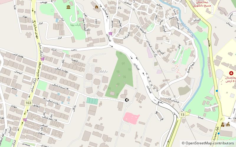
Map
Facts and practical information
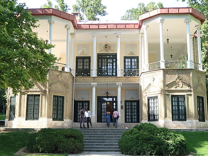
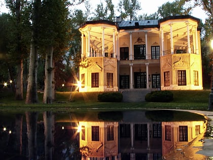
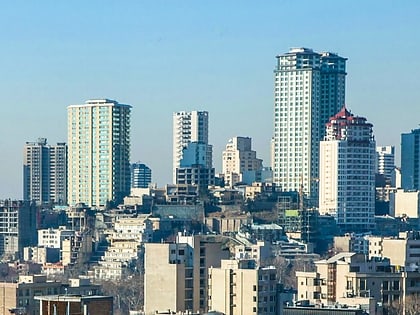
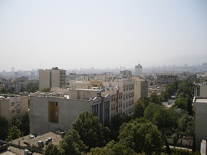
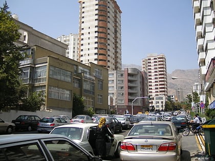
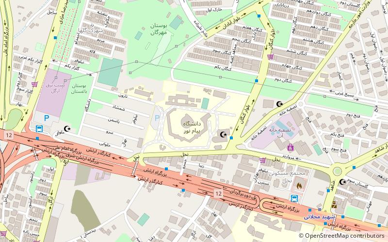
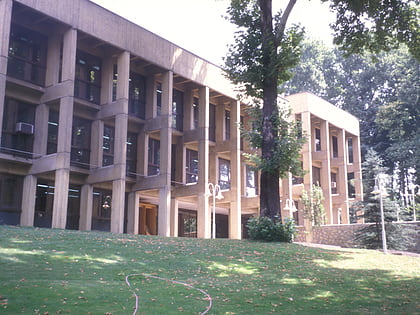
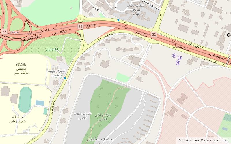
Gholhak is a neighborhood located in District 3 of Tehran Municipality. It is bounded on the east by the Darrous neighborhood, on the west by the Gholhak River, on the north by the British Embassy Garden, and on the south by the Pourmeshkani Street and Zafar Street. ()
Address
منطقه 4 (mntqh 4)Tehran
ContactAdd
Social media
Add
Day trips
Gholhak – popular in the area (distance from the attraction)
Nearby attractions include: Niavaran Palace, Lavizan Forest Park, Niavaran Park, Ahmad Shahi Pavilion.
Frequently Asked Questions (FAQ)
How to get to Gholhak by public transport?
The nearest stations to Gholhak:
Bus
Metro
Bus
- مهمانپذیر • Lines: 301 (6 min walk)
- ستاد • Lines: 301 (13 min walk)
Metro
- Shahid Mahallati • Lines: 3 (28 min walk)
- Nobonyad • Lines: 3 (32 min walk)
