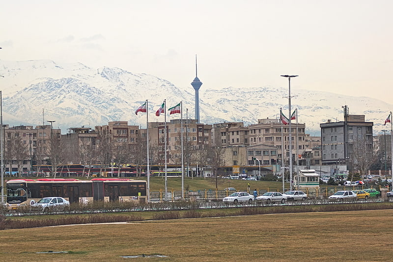
Chamran Expressway, Tehran
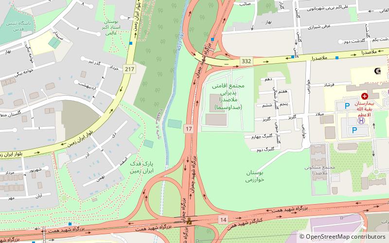
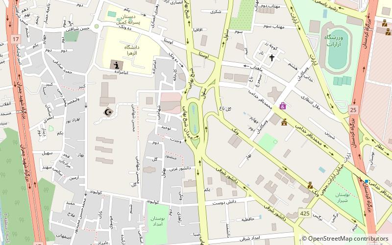
Map
Facts and practical information
Address
منطقه 3 (mntqh 3)Tehran
ContactAdd
Social media
Add
Getting there by public transportation
Public transportation stops near this location
- Metro
- Bus
 Metro
Metro
- Calculate routeMollasadra - BRT 4 6 min walk
- Calculate routeایستگاه سازمان گوشت 10 min walk
- Calculate routeMilad Hospital 12 min walk
- Calculate routeونک پارک 17 min walk
- Calculate routeBorj-e Milad-e Tehran 16 min walk
- Calculate routeSan'at Square 27 min walk
Day trips


Frequently Asked Questions (FAQ)
Which popular attractions are close to Chamran Expressway?
Nearby attractions include Iran University of Medical Sciences, Tehran (13 min walk), Arte Gallery galry arth, Tehran (19 min walk), Milad Tower, Tehran (23 min walk).
How to get to Chamran Expressway by public transport?
The nearest stations to Chamran Expressway:
Bus
Metro
Bus
- Mollasadra - BRT 4 • Lines: 104 (6 min walk)
- ایستگاه سازمان گوشت • Lines: 305 (10 min walk)
Metro
- Borj-e Milad-e Tehran • Lines: 7 (16 min walk)
- San'at Square • Lines: 7 (27 min walk)