Oudlajan, Tehran
Map
Gallery
Facts and practical information
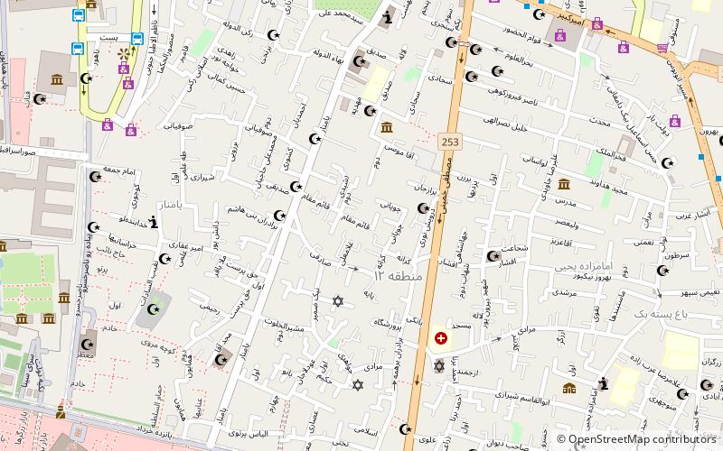
Oudlajan is a historic neighborhood in Tehran, Iran. The neighborhood is surrounded by Pamenar Street, Cyrus Street, Cheragh Bargh and BozarJomehr Street. Oudlajan, in addition to Arg, Dolat, Sangelaj, Bazar and Chalmeidan, constituted the Old Tehran during the Naser Aldin Shah era. Old Oudlajan consisted of 2619 houses and 1146 shops and was one of the biggest and wealthiest neighborhoods in Tehran. ()
Coordinates: 35°40'51"N, 51°25'45"E
Address
منطقه 12 (mntqh 12)Tehran
ContactAdd
Social media
Add
Day trips
Oudlajan – popular in the area (distance from the attraction)
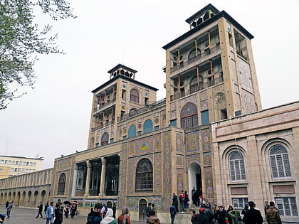
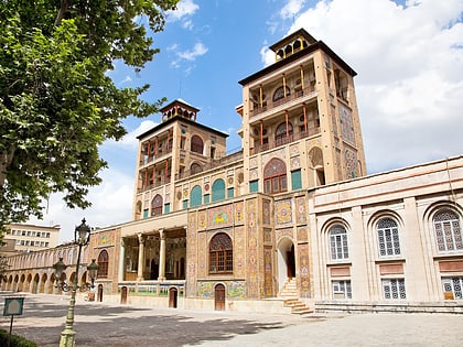
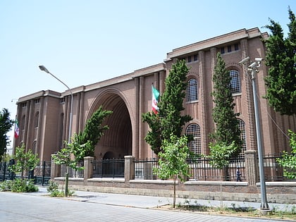
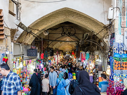
Nearby attractions include: Shams-ol-Emareh, Golestan Palace, National Museum of Iran, Grand Bazaar.
Frequently Asked Questions (FAQ)
Which popular attractions are close to Oudlajan?
Nearby attractions include Ezra Yaghoub Synagogue, Tehran (6 min walk), Shams-ol-Emareh, Tehran (11 min walk), Mirza Mousa Mosque, Tehran (11 min walk), Jameh Mosque of Tehran, Tehran (13 min walk).
How to get to Oudlajan by public transport?
The nearest stations to Oudlajan:
Bus
Metro
Bus
- ایستگاه پایانه)سعدی جنوبی به سمت پارک ولیعصر( (10 min walk)
- ایستگاه پایانه)سعدی جنوبی به سمت ترمینال جنوب( (12 min walk)
Metro
- Mellat • Lines: 2 (14 min walk)
- Emam Khomeini • Lines: 1, 2 (16 min walk)

