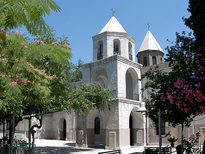
City Park, Tehran
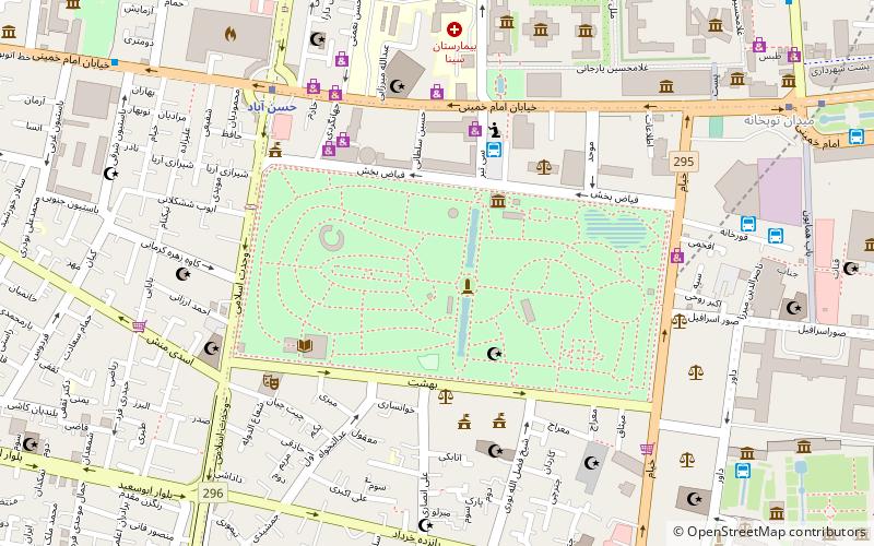
Map
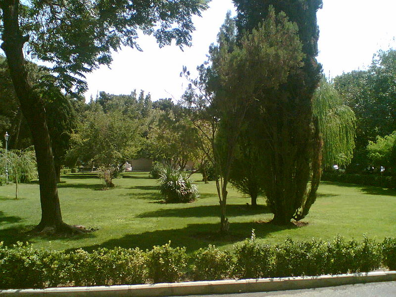
Gallery
Facts and practical information
Local name: پارک شهر Created: 1953Area: 86.49 acres (0.1351 mi²)Elevation: 3796 ft a.s.l.Coordinates: 35°40'60"N, 51°24'48"E
Address
منطقه 12 (mntqh 12)Tehran
ContactAdd
Social media
Add
Day trips
City Park – popular in the area (distance from the attraction)
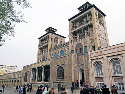
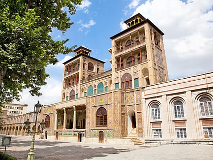
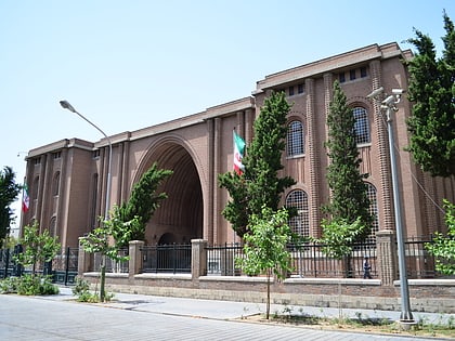
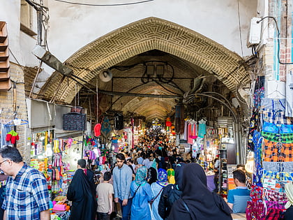
Nearby attractions include: Shams-ol-Emareh, Golestan Palace, National Museum of Iran, Grand Bazaar.
Frequently Asked Questions (FAQ)
Which popular attractions are close to City Park?
Nearby attractions include Tehran Peace Museum, Tehran (3 min walk), Museum of Ancient Iran, Tehran (7 min walk), National Museum of Iran, Tehran (8 min walk), Museum of the Islamic Era, Tehran (8 min walk).
How to get to City Park by public transport?
The nearest stations to City Park:
Bus
Metro
Bus
- پایانه اتوبوس فیاض بخش (4 min walk)
- اتوبوس توپ خانه-خ معلم • Lines: 381 (9 min walk)
Metro
- Hassan Abad • Lines: 2 (7 min walk)
- Panzdah-e Khordad • Lines: 1 (11 min walk)

