University of Applied Science and Technology, Tehran

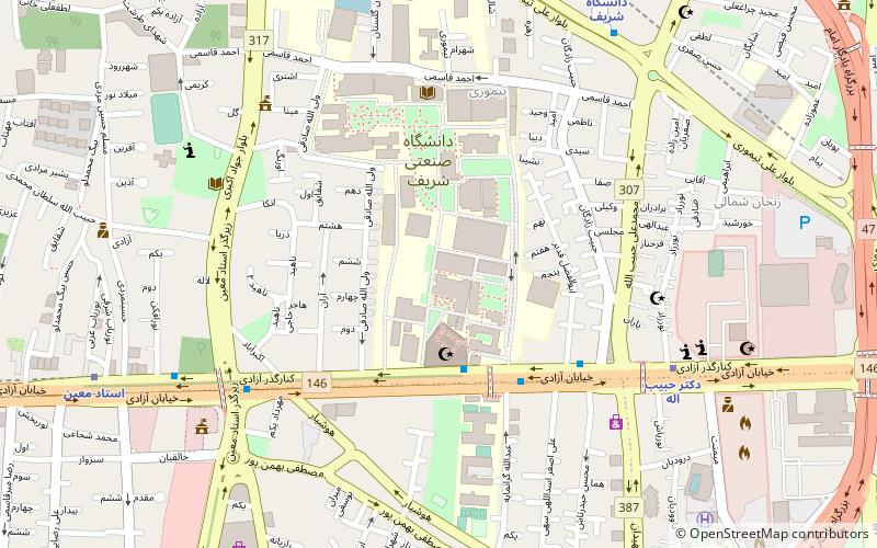
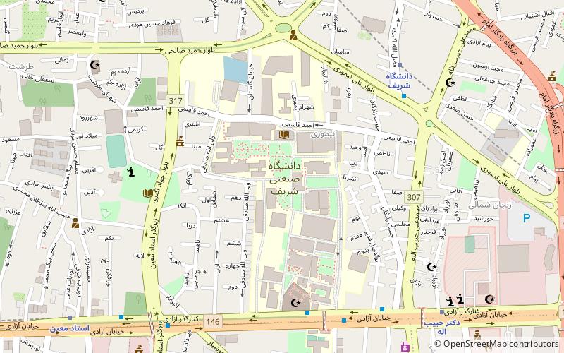
Map
Facts and practical information
The University of Applied Science and Technology is a public university in Iran administrated by the Ministry of Science, Research and Technology. It has 1500 education centers in various branches in various Provinces of Iran. The UAST helps to increase skill level of employed personnel in various sectors of economic field and graduates of higher education and professional skills that are lacking in administrative. It is inspired by Community colleges in the United States. ()
Coordinates: 35°42'6"N, 51°21'5"E
Address
منطقه 2 (mntqh 2)Tehran
ContactAdd
Social media
Add
Day trips
University of Applied Science and Technology – popular in the area (distance from the attraction)
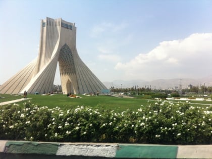
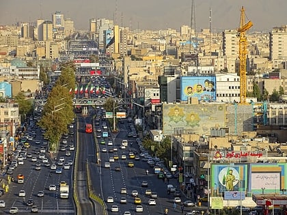
Nearby attractions include: Azadi Tower, Azadi Square, Azadi Avenue, Sharif University of Technology.
Frequently Asked Questions (FAQ)
Which popular attractions are close to University of Applied Science and Technology?
Nearby attractions include Sharif University of Technology, Tehran (4 min walk), Azadi Avenue, Tehran (6 min walk), Azadi Tower, Tehran (20 min walk), Azadi Square, Tehran (20 min walk).
How to get to University of Applied Science and Technology by public transport?
The nearest stations to University of Applied Science and Technology:
Bus
Metro
Bus
- دانشگاه شریف • Lines: 101 (4 min walk)
- Sharif University • Lines: 1 (4 min walk)
Metro
- Doctor Habib-o-llah • Lines: 4 (8 min walk)
- Sharif University • Lines: 2 (10 min walk)


