Tell al-`Ubaid
Map

Map

Facts and practical information
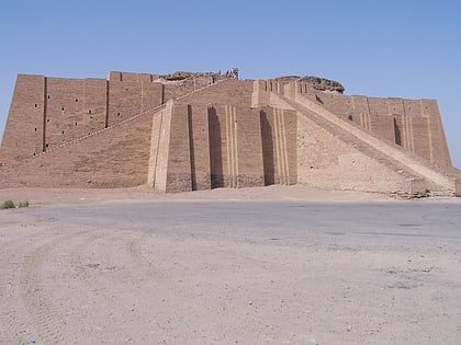
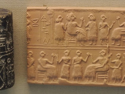
Tell al-'Ubaid is a low, relatively small tell west of nearby Ur in southern Iraq's Dhi Qar Governorate. The majority of the remains are from the Chalcolithic Ubaid period, for which Tell al-'Ubaid is the type site, with an Early Dynastic temple and cemetery at the highest point. ()
Location
Dhi-Qar
ContactAdd
Social media
Add
Day trips
Tell al-`Ubaid – popular in the area (distance from the attraction)
Nearby attractions include: Ziggurat of Ur, Royal Cemetery at Ur.


