Duhok Dam
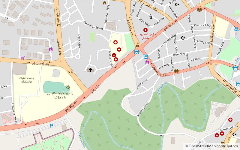
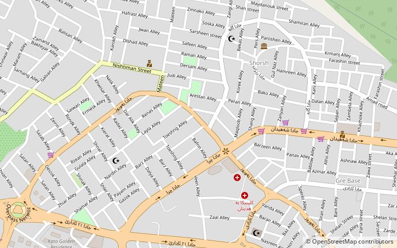
Map
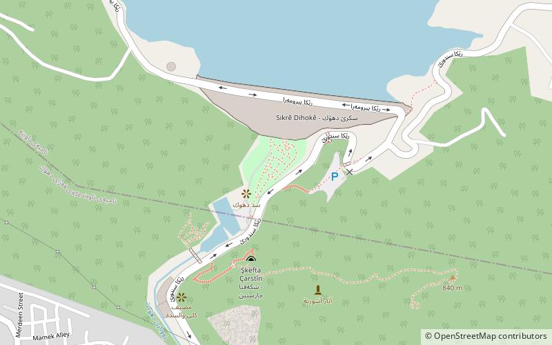
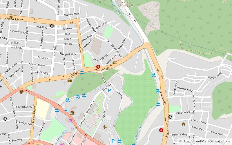
Map

Facts and practical information
The Duhok Dam is an earth-fill embankment dam on the Duhok River just north of Duhok in Duhok Governorate, Iraq. The dam was completed in 1988 with the primary purpose of providing water for irrigation. It is 60 m tall and can withhold 52,000,000 m3 of water. The dam has a bell-mouth spillway with a maximum discharge of 81 m3/s. ()
Local name: سد دهوك Opened: 1988 (38 years ago)Length: 1969 ftHeight: 197 ftCoordinates: 36°52'27"N, 43°0'13"E
Location
Dihok
ContactAdd
Social media
Add
Day trips
Duhok Dam – popular in the area (distance from the attraction)
Nearby attractions include: Halamata Cave, Duhok Stadium, University of Dohuk, Duhok District.

