Cheekha Dar

Gallery (1)
Map
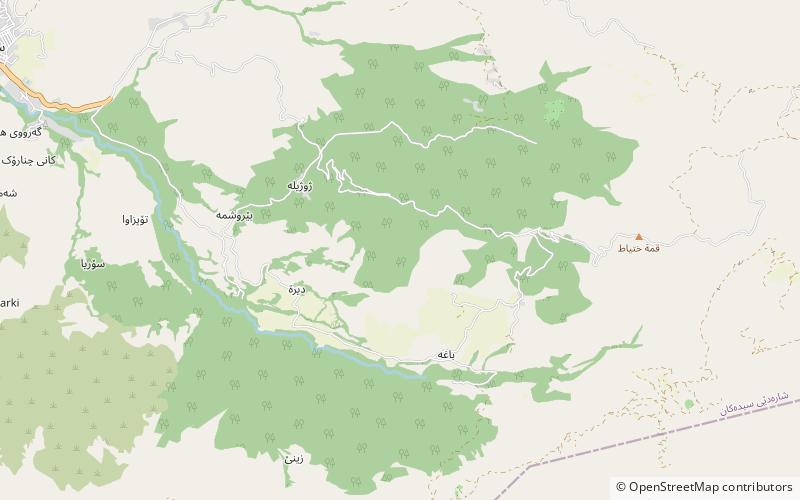
Map
Facts and practical information
Cheekha Dar, which means Black Tent, is the local Kurdish name for the mountain, located in Kurdistan Region of Iraq, currently thought to be the highest in Iraq. It is claimed to be 3,611 m high in the CIA World Factbook. It is 6 km north of the village of Gundah Zhur and is on the border with Iran. ()
Location
Arbil
ContactAdd
Social media
Add