Administrative districts in Baghdad, Baghdad

Gallery (1)
Map
Map
Facts and practical information
There are nine administrative districts in the city of Baghdad, the capital of Iraq, that correspond to the nine district advisory councils. The Baghdad Security Plan used these nine districts as the nine security districts. These were formed in 2003 following the 2003 Invasion of Iraq. District council members are selected from the 89 Neighborhood Advisory Councils in Baghdad. The number of neighbourhood representatives on the district council is based upon the community's population. The Baghdad City Advisory Council consists of 37 members drawn from the district councils and is also based on the district's population. ()
Address
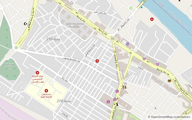
الكرخ (الشيخ المىىرۇف -شالجيا)Baghdad
ContactAdd
Social media
Add
Getting there by public transportation
Public transportation stops near this location
- Bus
- Train
 Bus
Bus
- Calculate routeكراج العلاوي الشمالي 15 min walk
- Calculate routeكراج العلاوي الجنوبي 16 min walk
- Calculate routeal alaawi 19 min walk
- Calculate routeكراج النجف 20 min walk
- Calculate routeCentral Baghdad Railway Station 18 min walk
Day trips


Frequently Asked Questions (FAQ)
Which popular attractions are close to Administrative districts in Baghdad?
Nearby attractions include Haifa Street, Baghdad (7 min walk), Iraq Museum, Baghdad (9 min walk), Al-Wazeer Mosque, Baghdad (13 min walk), Al-Mustansiriya University, Baghdad (14 min walk).
How to get to Administrative districts in Baghdad by public transport?
The nearest stations to Administrative districts in Baghdad:
Bus
Train
Bus
- كراج العلاوي الشمالي (15 min walk)
- كراج العلاوي الجنوبي (16 min walk)
Train
- Central Baghdad Railway Station (18 min walk)