Hazar Merd Cave

Gallery (1)
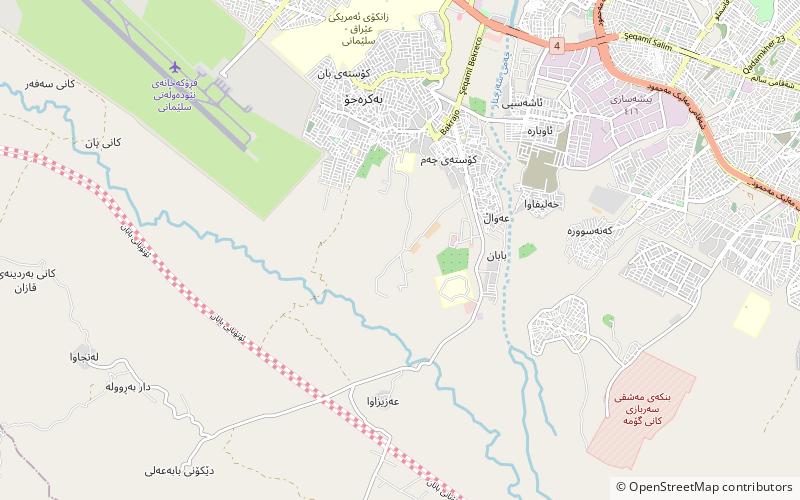
Map
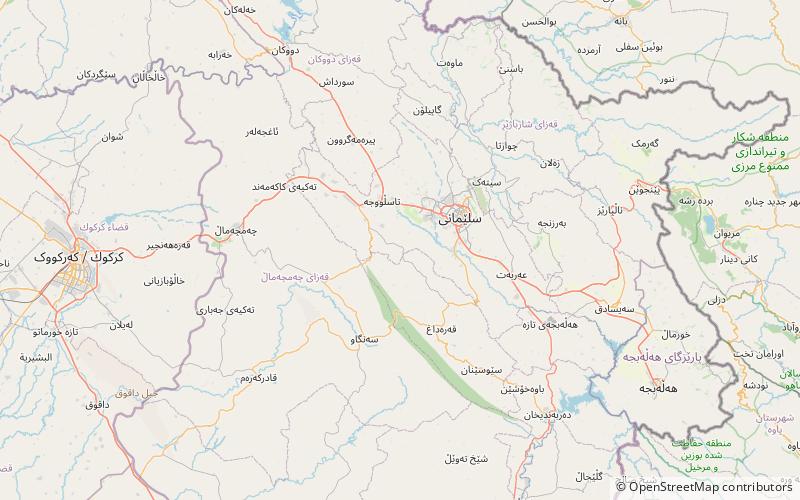
Map
Facts and practical information
Hazar Merd is a group of Paleolithic cave sites excavated by Dorothy Garrod in 1928. The caves are located south-southwest of Sulaymaniyah in Sulaymaniyah Governorate in Iraq. Garrod's soundings in two caves in the Hazar Merd group provided evidence of Middle and Epi-Paleolithic occupation.The Dark cave or Ashkawty Tarik in Kurdish has a commanding view of the local valley and is close to a small spring and a village with the same name. ()
Coordinates: 35°28'56"N, 45°16'38"E
Location
As-Sulaymaniyah
ContactAdd
Social media
Add
Day trips
Hazar Merd Cave – popular in the area (distance from the attraction)
Nearby attractions include: Sulaymaniyah District.