Nimrud
Map
Gallery
Facts and practical information
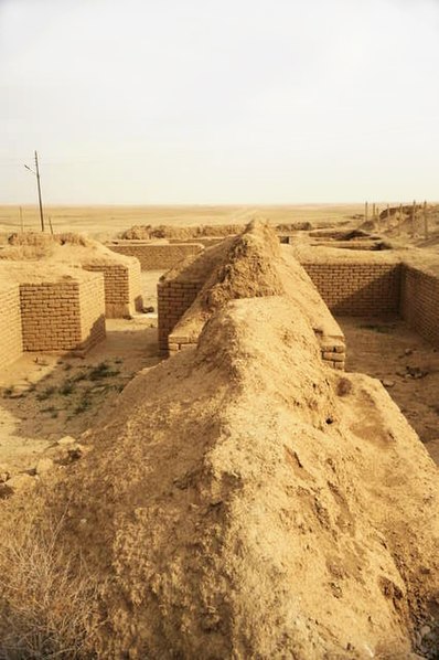
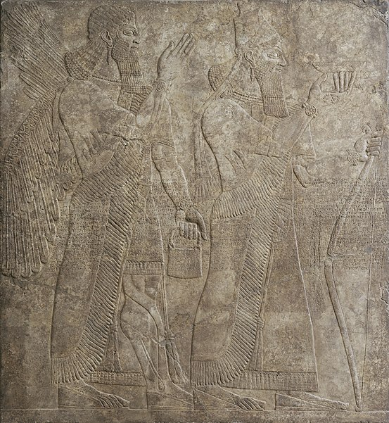
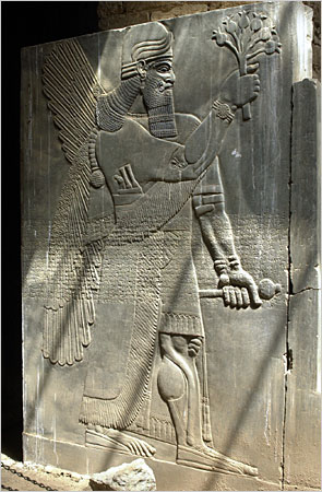
Nimrud is an ancient Assyrian city located in Iraq, 30 kilometres south of the city of Mosul, and 5 kilometres south of the village of Selamiyah, in the Nineveh Plains in Upper Mesopotamia. It was a major Assyrian city between approximately 1350 BC and 610 BC. The city is located in a strategic position 10 kilometres north of the point that the river Tigris meets its tributary the Great Zab. The city covered an area of 360 hectares. The ruins of the city were found within one kilometre of the modern-day Assyrian village of Noomanea in Nineveh Governorate, Iraq. ()
Location
Ninawa
ContactAdd
Social media
Add
Day trips
Nimrud – popular in the area (distance from the attraction)
Nearby attractions include: Mar Behnam Monastery.


