Al-Wazireya, Baghdad
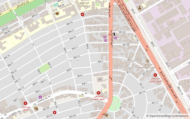
Map
Facts and practical information
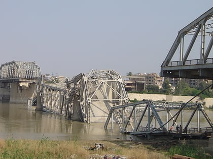
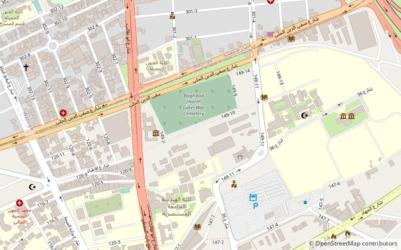
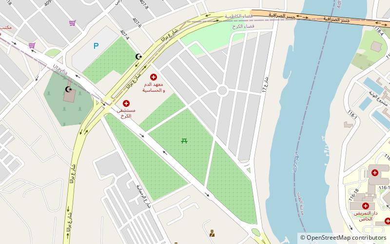
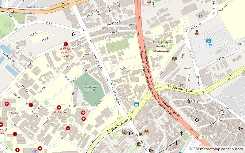
Al-Wazireya or Waziriyah is a neighborhood in the Adhamiyah District of Baghdad, Iraq. It is at one end of the Al-Sarafiya bridge, across the Tigris River from Utafiyah. ()
Coordinates: 33°22'0"N, 44°22'60"E
Address
ألأعظمية (الوزيرية)Baghdad
ContactAdd
Social media
Add
Day trips
Al-Wazireya – popular in the area (distance from the attraction)
Nearby attractions include: Al-Sarafiya Bridge, Mausoleum of Umar Suhrawardi, Baghdad War Cemetery, Khuld Palace.
Frequently Asked Questions (FAQ)
How to get to Al-Wazireya by public transport?
The nearest stations to Al-Wazireya:
Bus
Bus
- Al rasafa Park (21 min walk)
- كراج باب المعظم (28 min walk)
