Meir Taweig Synagogue, Baghdad
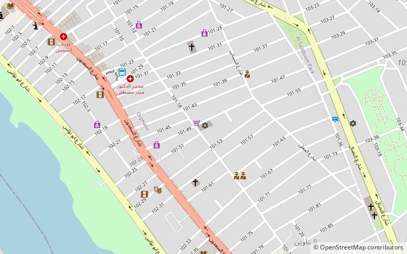
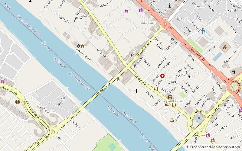
Map
Facts and practical information
Address
الرصافة (أورفاليا-باتون)Baghdad
ContactAdd
Social media
Add
Getting there by public transportation
Public transportation stops near this location
- Bus
 Bus
Bus
- Calculate routeAl-Nasr Square 7 min walk
- Calculate routeسيارات جميلة حي 36 min walk
Day trips


Frequently Asked Questions (FAQ)
Which popular attractions are close to Meir Taweig Synagogue?
Nearby attractions include Al-Sa'adoon, Baghdad (6 min walk), Liberation Square, Baghdad (15 min walk), Firdos Square, Baghdad (16 min walk), Al-Rusafa, Baghdad (17 min walk).
How to get to Meir Taweig Synagogue by public transport?
The nearest stations to Meir Taweig Synagogue:
Bus
Bus
- Al-Nasr Square (7 min walk)
- سيارات جميلة حي (36 min walk)